



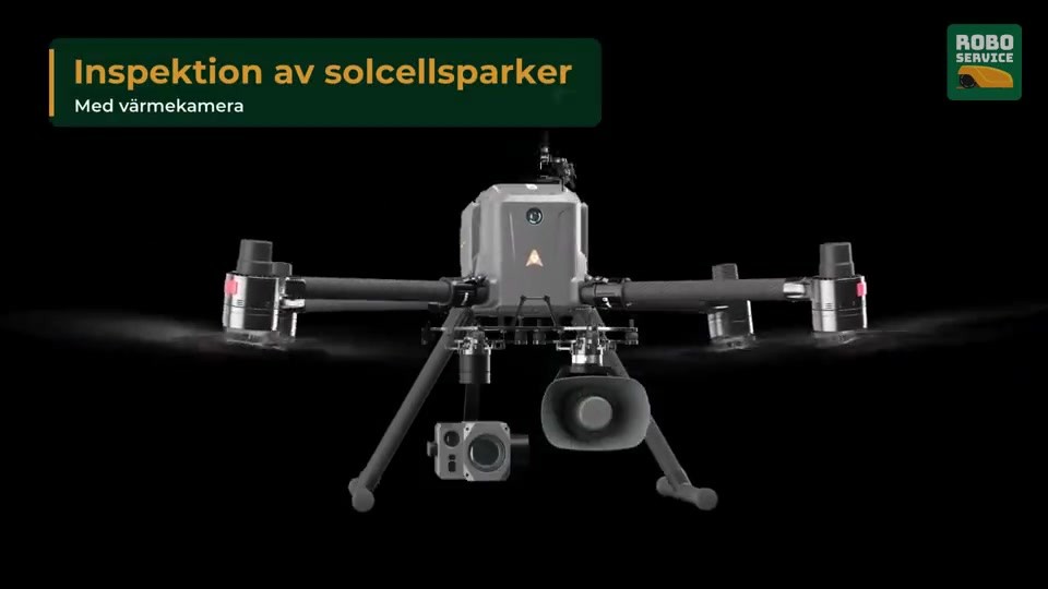

INDUSTRIAL MULTIROTOR UAV
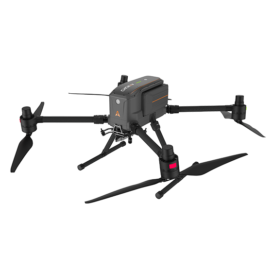
CHCNAV X500
The X500 carries what the mission needs.
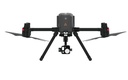
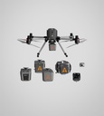
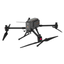
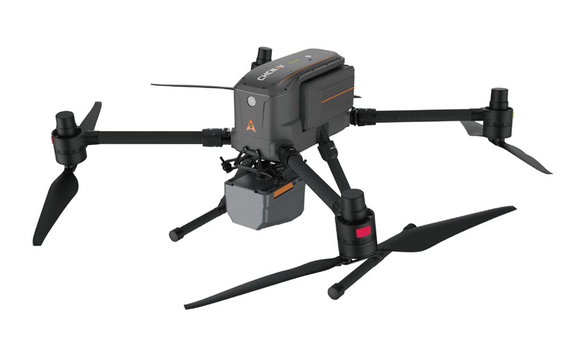
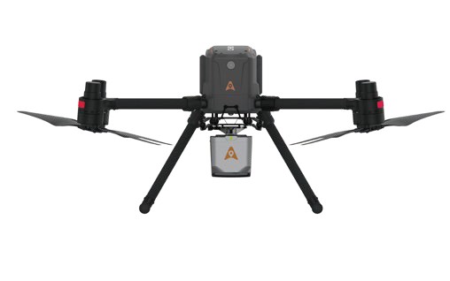
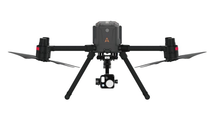
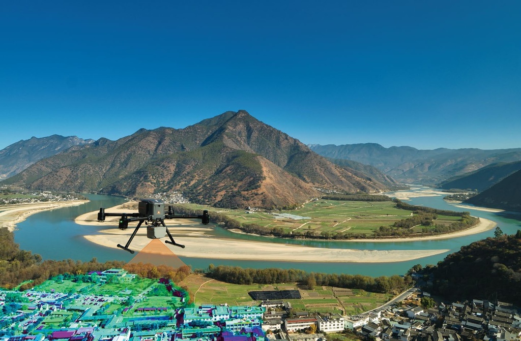
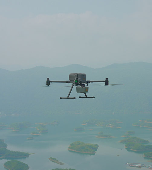
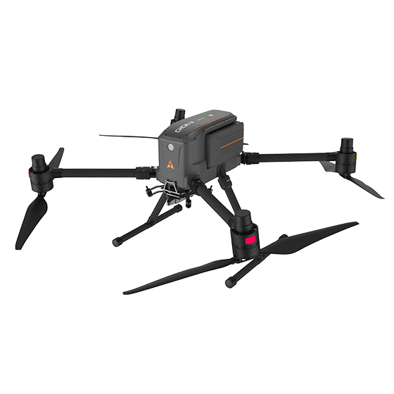
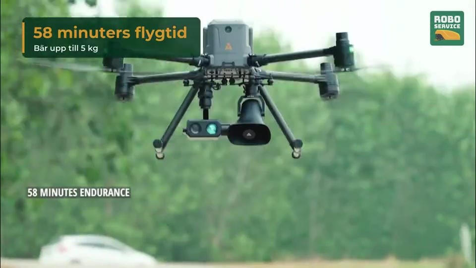
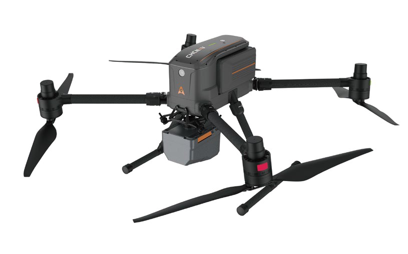
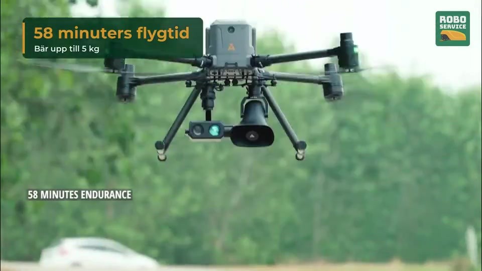
The CHCNAV X500 is a professional quadcopter built for high payload capacity, long endurance and reliable flight. It carries up to 5 kg, flies up to 58 minutes without payload and takes up to three payloads at once: LiDAR, survey cameras, gimbal cameras, searchlights, loudspeakers and more.
5 kg
max payload
58 min
flight time, no payload
3
payloads at once
IP55
protection rating (1)
(1) Tested under controlled conditions; the rating is not permanent and can decrease with wear. According to CHCNAV's brochure.
Built for demanding professional missions
Flight control, high-precision positioning, visual SLAM and obstacle sensors give stable, intelligent flight.
Pictures
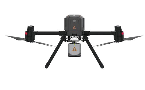
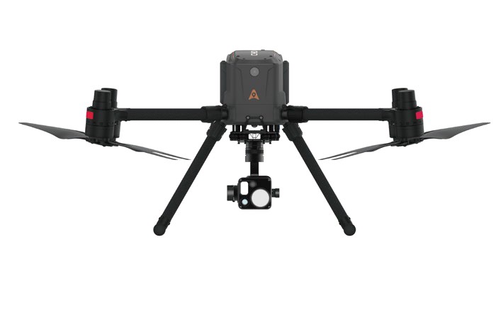
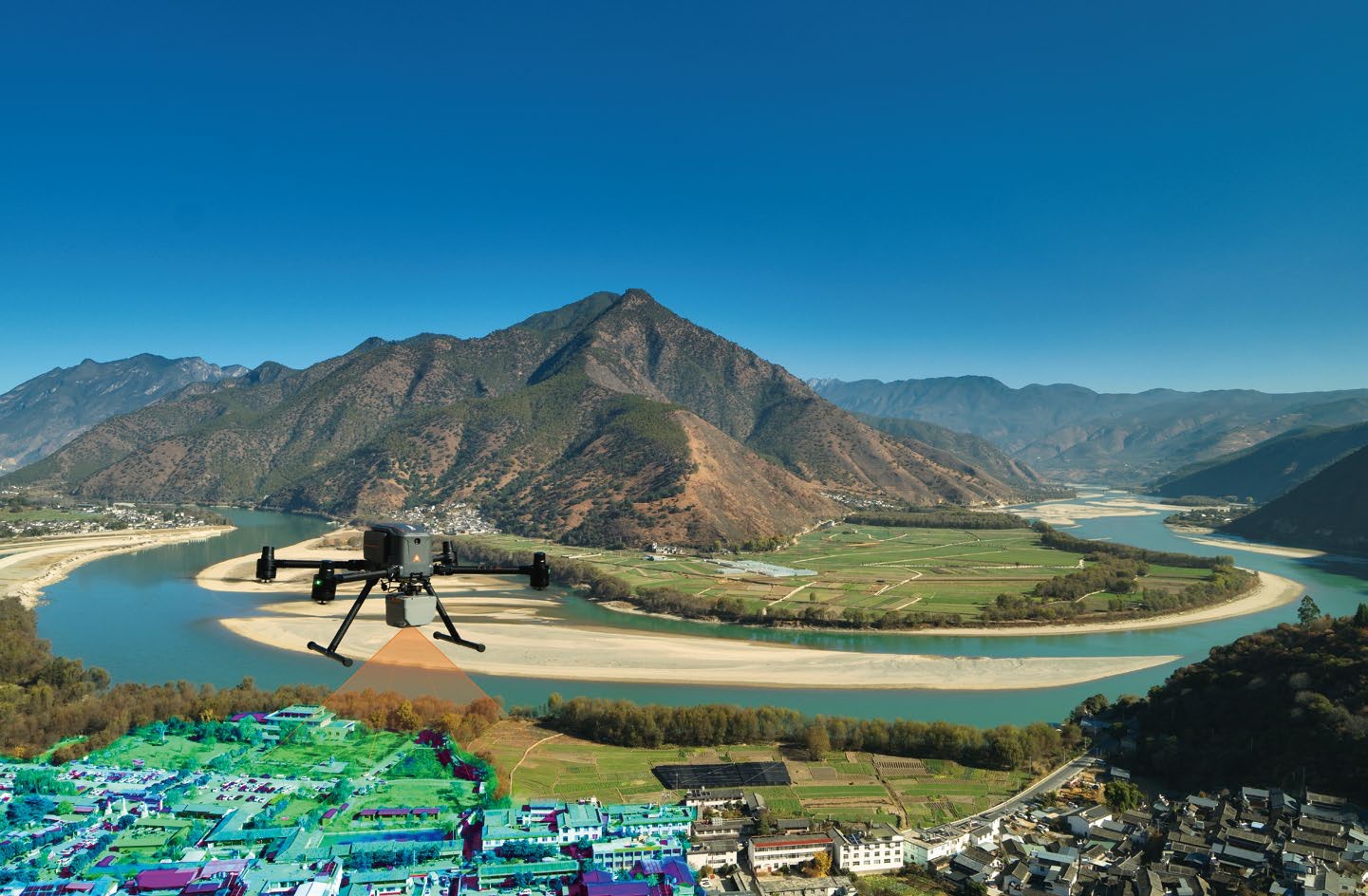
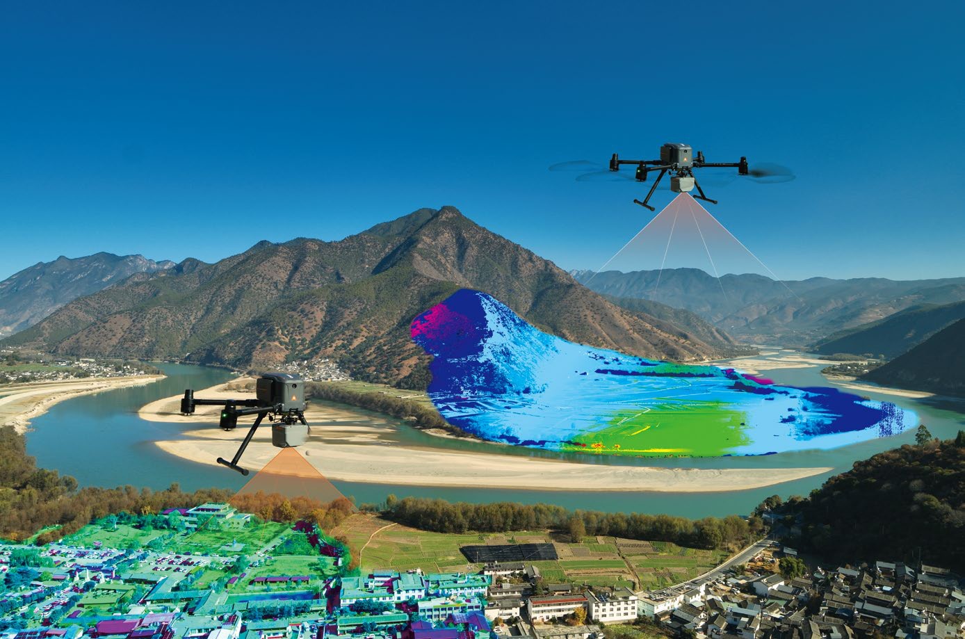
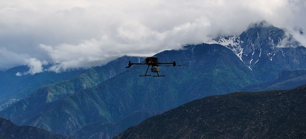
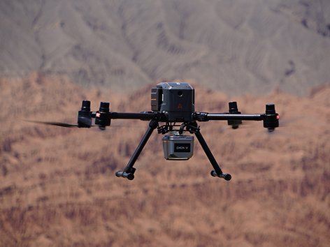
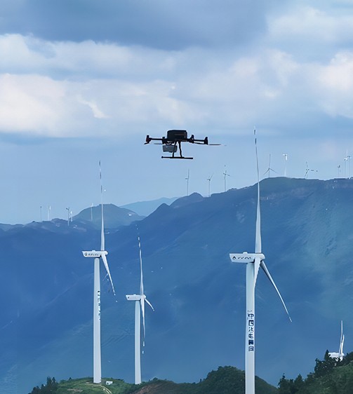
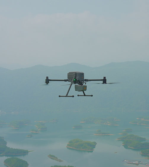
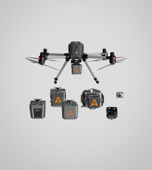
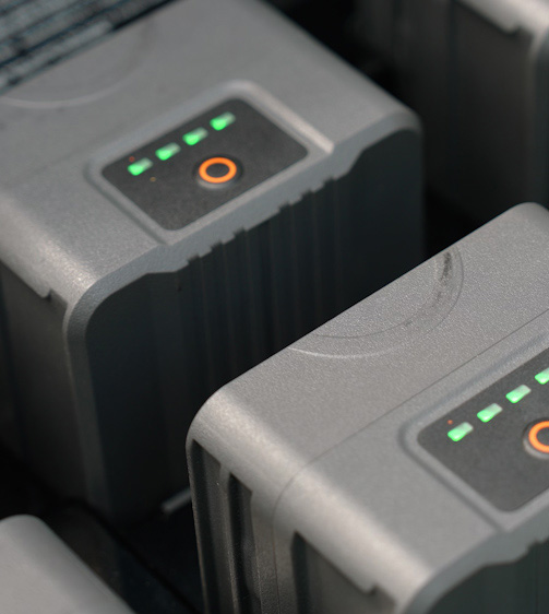
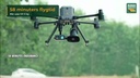
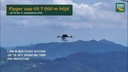
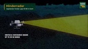
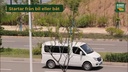
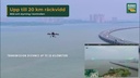
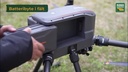
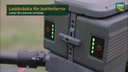
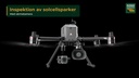
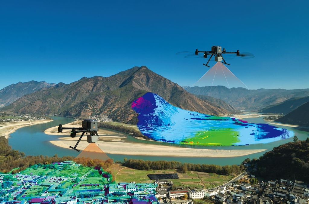
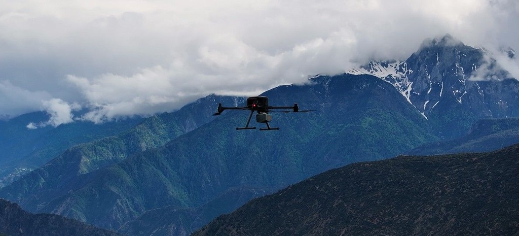
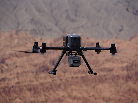
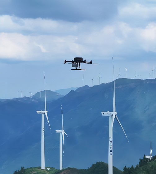
Stills from our X500 film
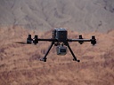
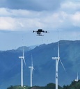
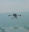
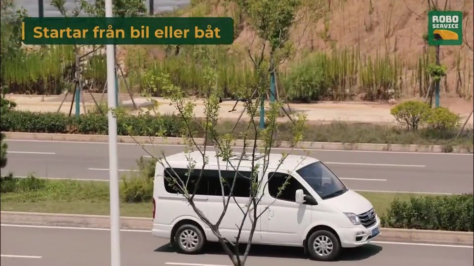
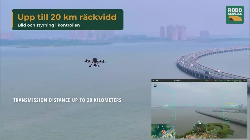
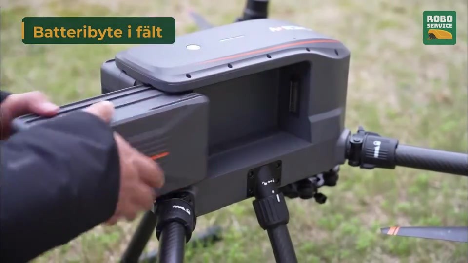
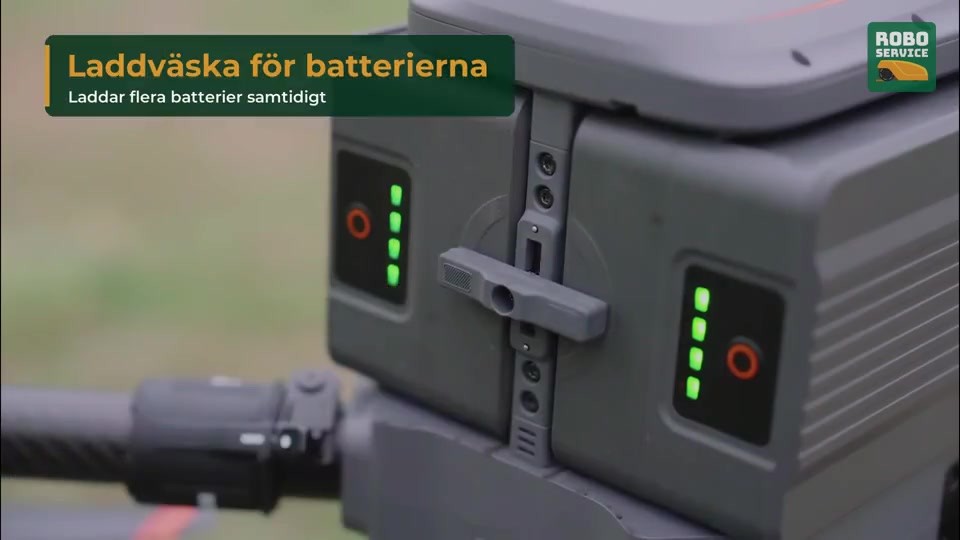
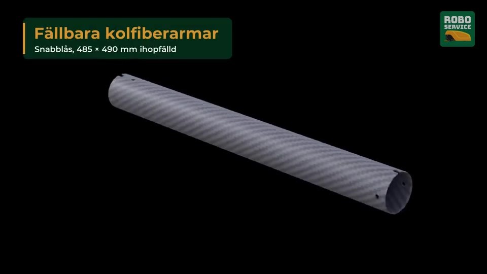
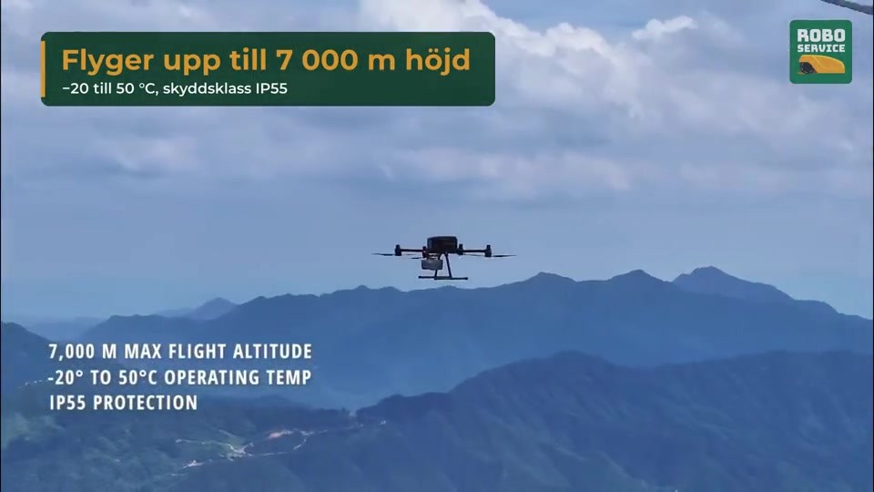
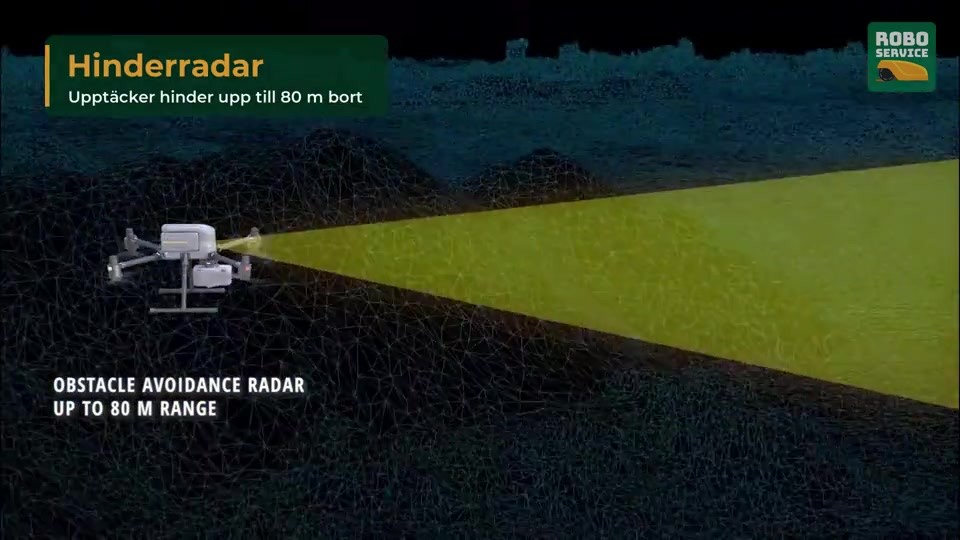
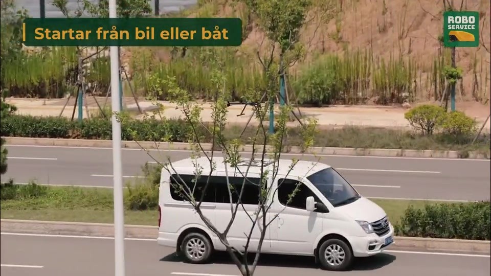
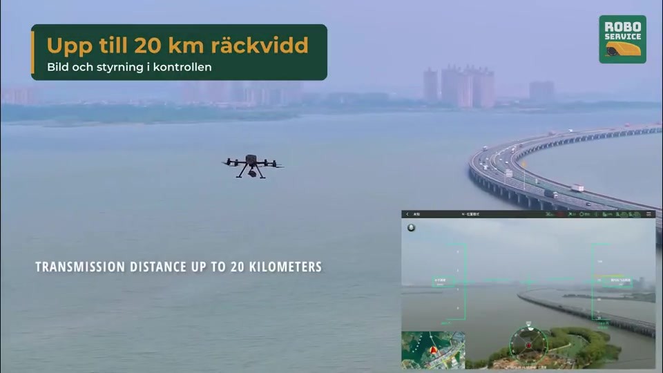
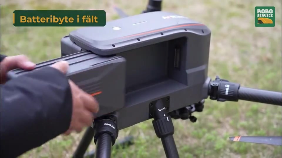
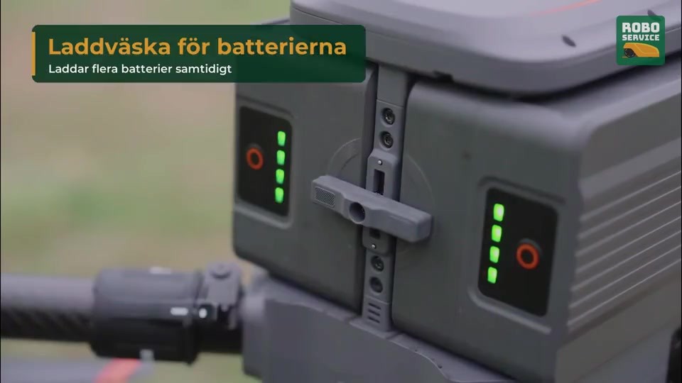
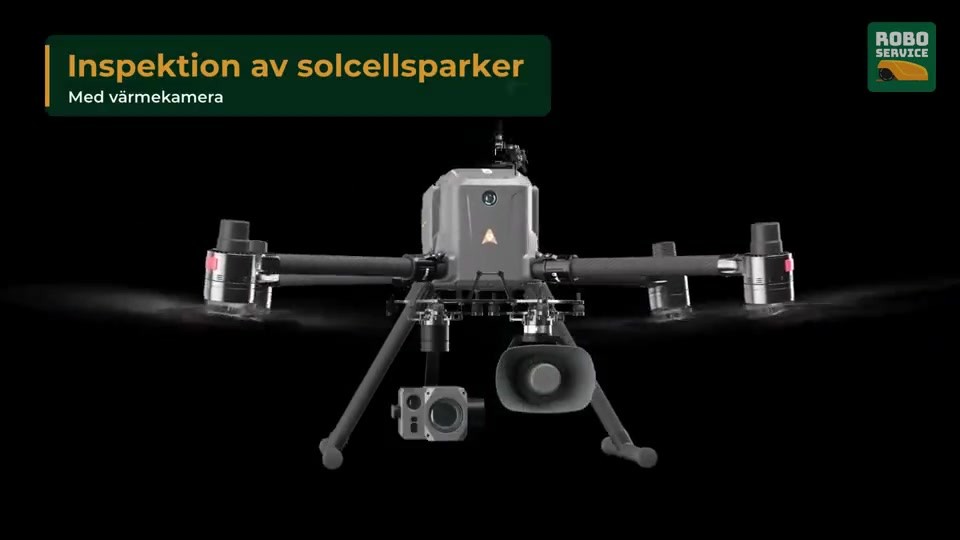
Ten frames from our Swedish film about the X500. The labels in the frames are ours; the footage is CHCNAV's.

What the X500 is used for
Payloads and accessories for the X500
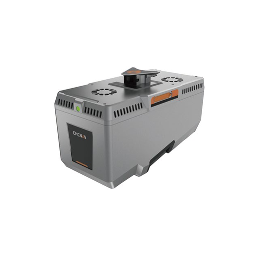
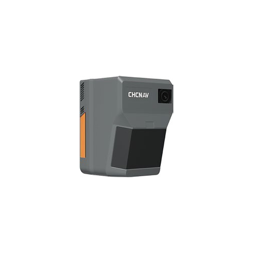
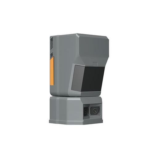
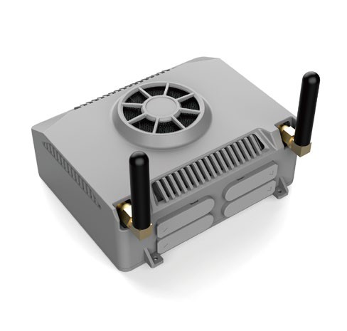
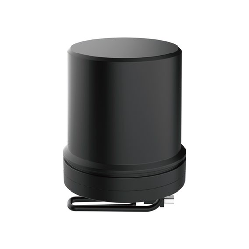
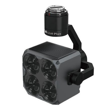
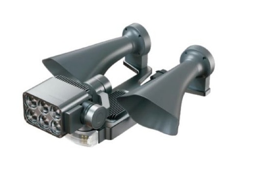
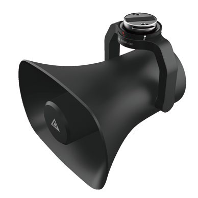
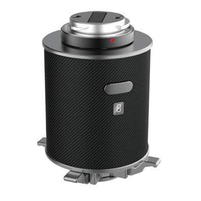
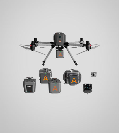
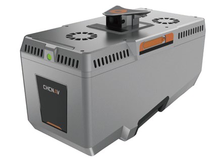
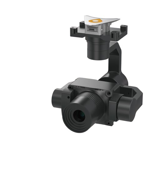
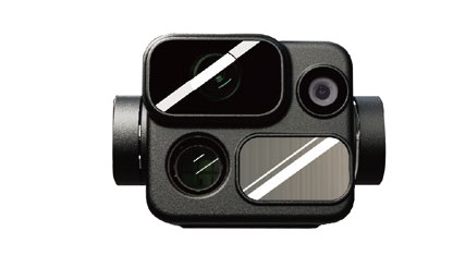
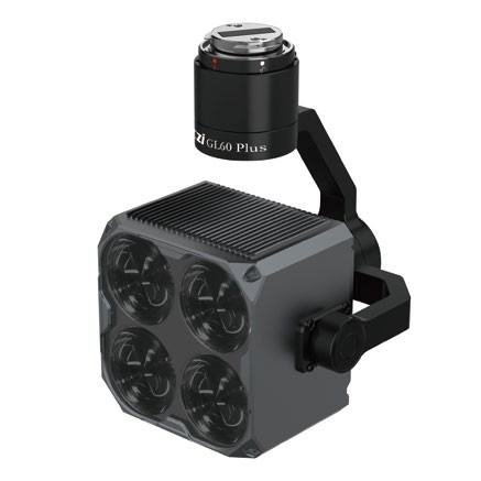
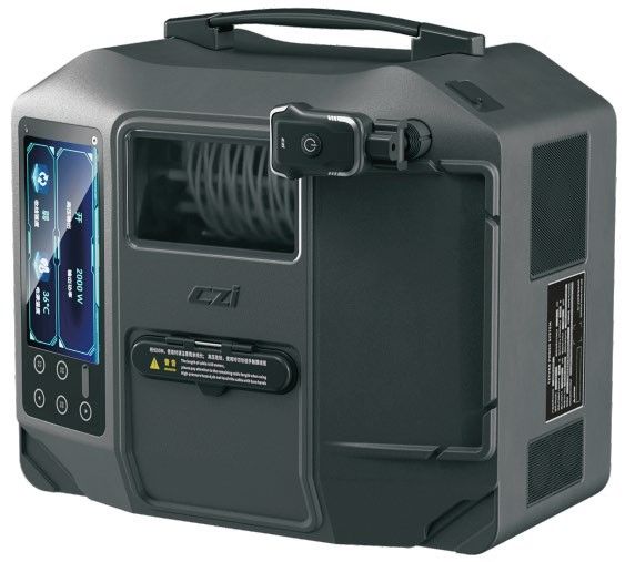
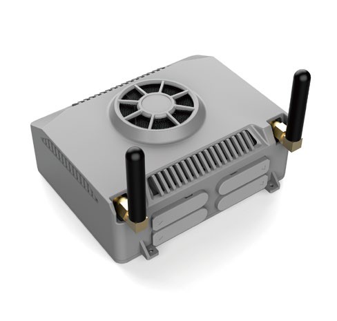
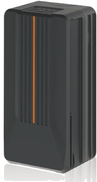
The X500 carries up to three payloads at once. These CHCNAV payloads and accessories belong to the X500 system:
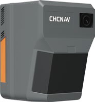
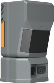
LiDAR systems
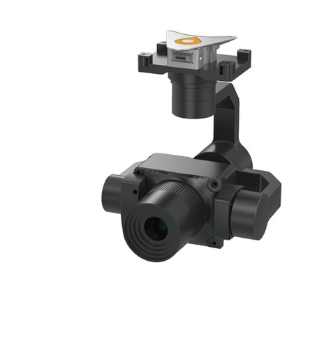
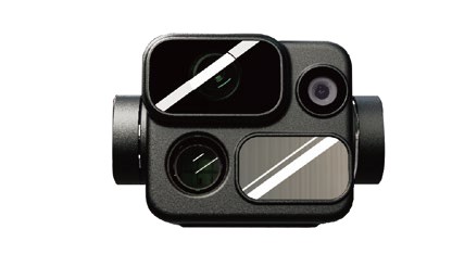
Cameras
Public safety and obstacle avoidance
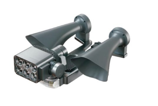
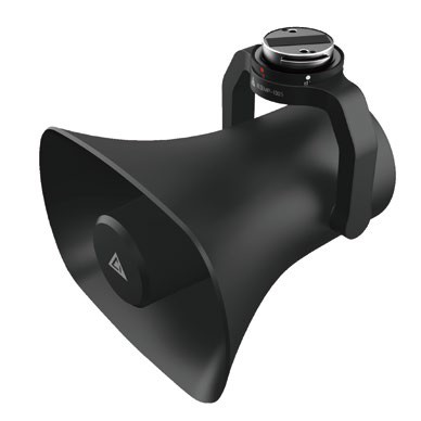
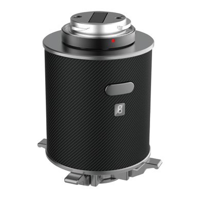
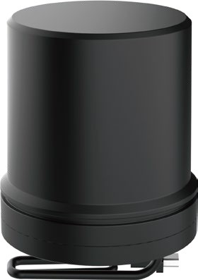
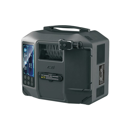
Tethered power
Onboard computing
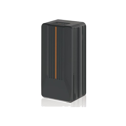
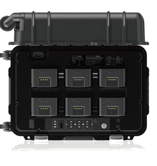
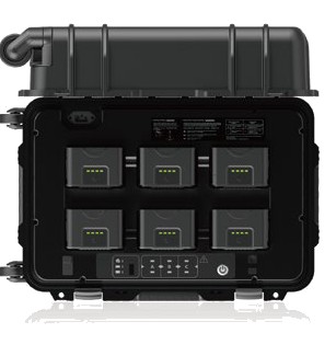
Batteries and charging
CHCNAV also lists the LiDAR systems AU20, AA15, AA10 and AA9 and the RGB cameras C5 and C30 as supported on the X500. Ask us about them. The C504 survey camera is part of CHCNAV's range; we confirm that it fits your X500 setup before an order.
Specifications
| Type | Quadcopter, 4 propellers |
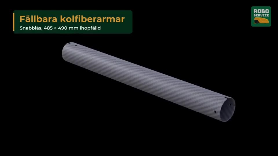
| Structure | Carbon fibre, quick-release design |
| Dimensions, unfolded, without propellers | 770 × 804 × 450 mm (L × W × H) |
| Dimensions, folded, with propellers | 485 × 490 × 450 mm (L × W × H) |
| Diagonal wheelbase | 1,000 mm |
| Empty weight (single downward gimbal) | Approx. 4.4 kg without batteries; approx. 8.9 kg with two batteries |
| Max. payload | 5.0 kg |
| Max. take-off weight | 13.9 kg |
| Max. flight time (2) | 58 min with no payload; 52 min with 2 kg payload; 40 min with 4 kg payload |
| Max. speed | 23 m/s |
| Max. ascent / descent speed | 8 m/s / 6 m/s |
| Max. wind resistance | 12 m/s (CHCNAV website) |
| GNSS | GPS + GLONASS + BeiDou + Galileo |
| RTK accuracy (RTK FIX) | 1 cm ± 1 ppm (H); 1.5 cm ± 1 ppm (V) |
| Hovering accuracy, vertical | ±0.5 m (GNSS); ±0.1 m (RTK) |
| Hovering accuracy, horizontal | ±1.5 m (GNSS); ±0.1 m (RTK) |
| Landing deviation (3) | ≤ 10 cm (vision); ≤ 8 cm (RTK fixed) |
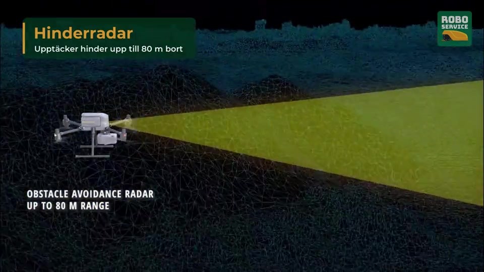
| Obstacle detection | Forward sensor, 80 m |
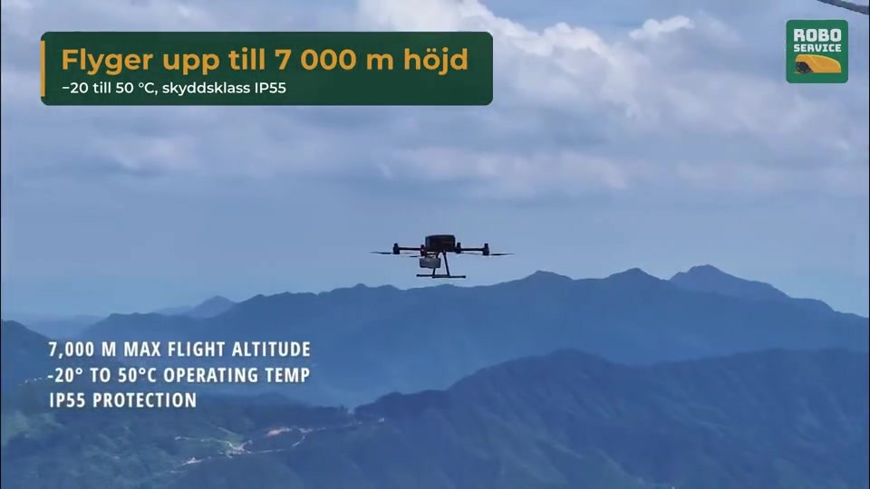
| Protection rating (1) | IP55 |
| Operating temperature | -20 to 50 °C |
| Storage temperature | -40 to 70 °C |
| Transport container | 792 × 520 × 313 mm (L × W × H) |
| Remote controller EC10 | 10.1-inch touchscreen, 1920 × 1200, 1000 nits; approx. 5 h operating time; 20 km max. transmission distance; approx. 1.5 kg |
| Supported CHCNAV payloads (4) | RGB camera: C5/C30. LiDAR: AU20/AA15/AA10/AA9/AA6/AA6D/AA15P |
(1) Tested under controlled conditions; not permanent and may decrease with wear.
(2) Measured at about 10 m/s in windless conditions until the battery reached 0%. Reference only; real flight time varies with flight mode, accessories and environment.
(3) Measured in open environments with good signal; varies with take-off and landing environment and weather.
(4) The supported payload types are listed in CHCNAV's user manual and updated with the latest support details.
Specifications are taken from CHCNAV's product brochure and may change without notice.
Technical deep dive
Everything below comes from CHCNAV's own X500 user manual (December 2024), the product datasheet (September 2025) and CHCNAV's product page. The figures are CHCNAV's, and we say where a number depends on conditions. Jump straight to the part you need.
Flight modes and speed limits
The X500 has two flight modes. P (position) is the normal one, and A (fixed altitude) is a professional fallback. Each mode has three gears: T (stable), N (normal) and S (sport).
| Mode and gear | Max. horizontal speed | Max. ascent | Max. descent | Max. tilt angle |
| P mode, T (stable) | 10 m/s | 4 m/s | 4 m/s | - |
| P mode, N (normal) | 15 m/s | 6 m/s | 5 m/s | - |
| P mode, S (sport) | 23 m/s | 8 m/s | 6 m/s | - |
| A mode, T (stable) | - | 4 m/s | 4 m/s | 15° |
| A mode, N (normal) | - | 6 m/s | 5 m/s | 23° |
| A mode, S (sport) | - | 8 m/s | 6 m/s | 23° |
A dash means that CHCNAV gives no figure for that cell.
Source: CHCNAV X500 User Manual (2024-12), sections 4.6 and 3.2.
Obstacle avoidance in detail
A millimetre-wave radar in the nose measures the distance to obstacles. You switch the function on in the SmartGo app and set the braking distance there.
Recommended maximum route speed by obstacle type
| Obstacle type | Set the route speed to |
| Strongly reflective: buildings, mountain faces | below 15 m/s |
| Slightly weaker reflection: glass buildings, trees, high-voltage towers | below 12 m/s |
| Large areas of greenery: forests in arid regions | below 10 m/s |
| Sparse strip-shaped obstacles: rooftop rebar, signal towers, wind turbines, high-voltage power lines | below 8 m/s |
Stay cables, utility poles tilted more than 10° and wires at an angle to the flight direction send most of the radar energy off in other directions, so detection can be weaker. For small objects such as power lines CHCNAV offers the CS1 radar as an extra accessory.
Source: CHCNAV X500 User Manual (2024-12), sections 3.4.1 to 3.4.6.
Return-to-home and failsafes
Automatic return needs the home point to be recorded before take-off and a good GNSS signal. Above the return altitude the aircraft returns at its current altitude, and below it climbs to the return altitude first. The nose turns towards the return point automatically, and the pilot cannot steer the direction during the return.
| Trigger | What happens |
| One-click return | Hold the H button on the controller for 3 seconds, or tap Return Home in the app and confirm. Short-press Pause on the controller to cancel and take back control. |
| Low battery | The factory defaults are a warning at 20 % and a severe warning at 10 %, both adjustable in SmartGo. The app asks whether to return, and with no answer within 10 seconds it returns automatically. This happens once per flight, so cancelling it and flying on can end in an emergency landing. |
| Severe low battery | The aircraft is forced to descend, and the descent cannot be cancelled. If the link is good you can still steer it while it comes down. |
| Lost link | If the controller loses contact the aircraft returns, provided the loss-of-link action is set to return in the app. If the link comes back during the return it still completes it, and Pause cancels it. |
When an obstacle appears during the return
| Obstacle within 20 m of the landing point | The aircraft leaves return-to-home and hovers in place. |
| Moderate to heavy rain during the return | Obstacle avoidance triggers at most twice: the first time it climbs 50 m, and if heavy rain is detected it climbs another 100 m. After that no further avoidance is triggered, so watch the controller closely. |
| Obstacle in a route mission with no link | The aircraft hovers for 60 seconds, climbs to the return altitude and starts the return. |
If something fails
Source: CHCNAV X500 User Manual (2024-12), sections 3.4 to 3.7, 3.11, 3.13 and 3.15.
Know the limits of the sensors
Every positioning and landing aid has conditions where it struggles. These are the ones CHCNAV lists.
| System | Struggles when |
| Visual precision landing | The landing QR code is dirty, covered, not fully unfolded or wrinkled. Light is below 15 lux or above 10,000 lux. The lens is dirty or has raindrops or tape on it. |
| Optical-flow positioning | Plain-coloured ground (pure black, white, red or green) and weak texture. Strong reflections, mirror surfaces and water. Fast lighting changes or a direct strong light source. Light below 15 lux or above 10,000 lux. A dirty lens. |
| Compass | Strong magnetic fields and large metal objects. Do not calibrate near magnetic ore, car parks or building sites with buried rebar, or while carrying phones, watches or metal accessories. Calibrate in an open area by rotating the aircraft 360° horizontally, in pitch and in roll. If it fails, change site. |
| Radio link and GNSS | High-voltage lines, substations, mobile masts and TV towers can interfere. Switch off nearby Wi-Fi and Bluetooth devices, keep clear of tall buildings, mountains and forest, and watch the app for lag or a weakening signal. The link reaches about 20 km without obstruction or interference. |
Source: CHCNAV X500 User Manual (2024-12), sections 3.3, 3.6, 3.8 and 3.10.
Batteries and charging: B10 and BS10
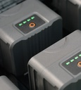
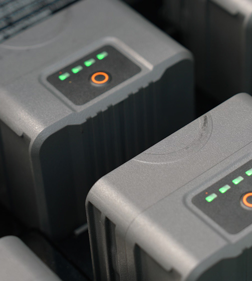
The X500 flies on two B10 intelligent batteries, which are charged in pairs in the BS10 station. The details below decide how many batteries you need and how you look after them.
BS10 charging modes
| Mode | Charges to | Use it for |
| Standard | 100 % | Daily work, each pair charged in turn. |
| Standby | 90 % | Urgent jobs and continuous high-frequency operation. |
| Storage | 50 % | Batteries that are not in use. It then holds the 50 %. |
| Charging logic | It charges one pair at a time and starts with the matched pair that has the most charge. A battery above 95 % is not charged. |
| Charging times | About 70 minutes for two batteries from empty to full, and about 40 minutes from 20 to 90 %. |
| Size and weight | 586 × 372 × 302 mm, about 9.9 kg, holds six B10 |
| Power | Input 100 to 120 V or 220 to 240 V AC at 50 to 60 Hz, at most 1,200 W (750 W at 100 to 120 V). Output 1,000 W. |
| Extra outputs | USB-C and USB-A outputs can power phones, tablets and the remote controller outdoors. A pressure balance valve equalises the air pressure in the case. |
| Operating temperature | -20 to 40 °C |
Source: CHCNAV X500 User Manual (2024-12), chapters 6 and 7, and the X500 datasheet (2025-09).
Controller, software and payload integration
The aircraft is flown from the EC10 controller running the SmartGo ground control app.
Source: CHCNAV X500 User Manual (2024-12), sections 2.2, 2.4, 3.9, 4.7 and chapter 5.
Environment limits and care
| Subject | CHCNAV's guidance |
| Wind | Resistance up to 12 m/s. Flying is prohibited above that, in thunderstorms and in typhoons. Near the flight ceiling braking and acceleration are weaker. |
| Rain and IP55 | Do not fly when rainfall exceeds 100 mm in 24 hours, and do not fold the arms in the rain. Keep the battery, battery bay and ports dry before inserting or charging. IP55 does not apply if the connector cover is not seated, the waterproof rubber plug is missing, or the shell is cracked or the waterproof glue has failed. Liquid damage is not covered by the warranty. |
| Temperature | Operating -20 to 50 °C, storage -40 to 70 °C. |
| Altitude and propellers | The standard propeller is the 2475 and the high-altitude propeller is the 2412. Use the high-altitude one in high-altitude areas, never mix propeller types, and check every propeller before every flight. CHCNAV publishes ceiling charts for each payload weight. |
| Polar regions | The aircraft cannot fly in N gear within the Arctic and Antarctic circles. |
| Take-off and landing | Use an open, flat and unobstructed surface away from buildings, trees, crowds and water. Do not take off from fast-moving surfaces, avoid dusty roads because dust damages the motors, and do not unlock on a steep slope. |
| Night flying | Switch on the night-flight auxiliary light, which also helps with landing identification. Do not look straight into it or touch it while it is on, because it gets hot. Use the SmartGo flight view to observe the surroundings in poor light. |
| Legal height | Keep the aircraft below 120 m. CHCNAV warns of legal risk above that and tells you to learn the local rules first. |
| Propeller replacement | Use an H2.5 hex key. CHCNAV recommends changing blades in the field only in an emergency, and contacting technical support or your regional agent afterwards. |
Pre-flight checklist
Check that every part is intact and free of cracks. Check that the batteries, controller and mobile device are charged. Make sure the arms and landing gear are fully deployed and the propellers are secure. Check that the controller is linked, the firmware is up to date and the app shows ready to take off. After power-on, make sure all motors run normally.
Source: CHCNAV X500 User Manual (2024-12), sections 3.2, 3.16, 4.2, 4.3, 4.5 and 4.8, and the X500 datasheet (2025-09).
Reading the status lights
Four lights sit on the arms. The two at the front show the heading, and the two at the rear show the status.
| Light | Meaning |
| Front: steady red | Aircraft on, motors not started |
| Front: red and green alternating | Motors started |
| Rear: red, green and yellow alternating | Self-check |
| Rear: slow green flash | N gear, normal flight, GNSS or RTK positioning in use |
| Rear: fast green flash | S gear, normal flight, GNSS or RTK positioning in use |
| Rear: green double flash | Visual landing |
| Rear: slow yellow flash | Height hold mode |
| Rear: fast yellow flash | Remote control signal interrupted |
| Rear: slow red flash | Battery is low |
| Rear: fast red flash | Severe low battery, the aircraft is about to land |
| Rear: red flash at intervals | The aircraft is not placed level |
| Rear: steady red | Unable to take off |
| Rear: red and yellow alternating | Compass error |
Source: CHCNAV X500 User Manual (2024-12), section 4.4.
Pilot and operator requirements
CHCNAV states that the X500 is CE-marked and in class C3. In Sweden the requirements below apply when it is flown in the open category, subcategory A3. Always check the current rules with Transportstyrelsen before you fly.
Missions outside these limits, such as flying beyond line of sight, closer to people or over people, fall outside the open category and need a permit from Transportstyrelsen (specific category). The X500 is class C3, so it cannot be used in the standard scenarios STS-01 and STS-02, which require class C5 or C6.
CHCNAV states that it offers online or on-site training covering theory, field practice, operational precautions and maintenance.
Source: Transportstyrelsen (transportstyrelsen.se/dronare) and EU Regulation 2019/947. Rules can change.
Frequently asked questions
How much can the X500 carry?
Max payload is 5.0 kg and max take-off weight is 13.9 kg. It supports up to three payloads at once, in the configurations single downward, single upward, dual downward, or one downward plus one upward.
How long can it fly?
CHCNAV states up to 58 minutes with no payload and 40 minutes with a 4 kg payload, and up to 50 minutes with the AlphaAir 10 (AA10) LiDAR. The figures were measured at about 10 m/s in windless conditions and are for reference; real flight time depends on mission, payload and environment.
Which payloads fit the X500?
CHCNAV lists the LiDAR systems AU20, AA15, AA10, AA9, AA6, AA6D and AA15P and the RGB cameras C5 and C30, plus the C504 survey camera, C640-SE gimbal camera, GL60C Plus searchlight, LP35 searchlight and loudspeaker, MP130C loudspeaker and TH4C payload drop. Third-party payloads must be certified and built on the CHCNAV SDK.
How is the X500 protected in flight?
GNSS, IMU and flight control are redundant. Millimetre-wave radar, TOF, vSLAM vision and HD FPV sensors protect the flight, with forward obstacle detection up to 80 m. The CS1 radar is available as an extra obstacle-avoidance accessory for small objects such as power lines.
Does it work in rain and cold?
The X500 has IP55 protection (tested under controlled conditions, not permanent) and an operating temperature of -20 to 50 °C. Batteries start auto-heating below 11 °C, and CHCNAV recommends charging at 15 to 35 °C. CHCNAV does not recommend flying in rain exceeding 100 mm within 24 hours.
What is required of the pilot?
In the open category A3 the operator must be registered with Transportstyrelsen and the pilot needs an A1/A3 drone licence. You fly within line of sight, at most 120 m up, at least 150 m from residential, industrial and recreational areas and at least 30 m from uninvolved people. See the full requirements above.
What wind can the X500 handle?
CHCNAV states 12 m/s wind resistance and prohibits flying above that, in thunderstorms and in typhoons. Near the flight ceiling braking and acceleration are weaker.
How does the obstacle avoidance work?
A millimetre-wave radar in the nose measures distance. Its effective range is about 60 m for strongly reflective objects and about 20 m for weakly reflective ones. It works in mission mode and return-to-home, not in manual flight and not in S gear, and it sees small objects such as wires poorly.
What happens if the link to the controller is lost?
If the loss-of-link action is set to return in the app, the aircraft returns to the home point and lands. If the link comes back during the return it still completes it, and a short press on Pause cancels it.
What happens if a motor fails or the battery runs low?
If one motor stops, the triple-rotor spin protection keeps the aircraft stable while it descends, under the conditions CHCNAV lists. At a low battery the app offers a return, and it starts automatically after 10 seconds. At a severe low battery the aircraft is forced to land.
How fast do the batteries charge?
The BS10 station charges two B10 batteries from empty to full in about 70 minutes, and from 20 to 90 % in about 40 minutes. It holds six batteries, charges them in pairs and has Standard (100 %), Standby (90 %) and Storage (50 %) modes.
Which flight modes does it have?
P (position) mode with GNSS or RTK and vision positioning, and A (fixed altitude) mode for professionals. Each has T, N and S gears, and P mode reaches 10, 15 and 23 m/s. In S gear obstacle avoidance does not take effect.
Can the X500 fly at night?
It has an auxiliary light for night flights, and CHCNAV tells you to switch it on when flying in the dark. Check the current rules for night operations with Transportstyrelsen before you fly.
What does it cost, and can I see one fly?
Contact us for a quote and to book a demo. We can arrange a demonstration with the X500 at RoboCenter in Svedala.
Talk to us about the CHCNAV X500
We help you choose the right setup, quote it and arrange a demonstration at RoboCenter in Svedala.
Request a quoteOptions and accessories
Add-ons that fit this product. Open one to see price and details.