LONG-RANGE LIDAR
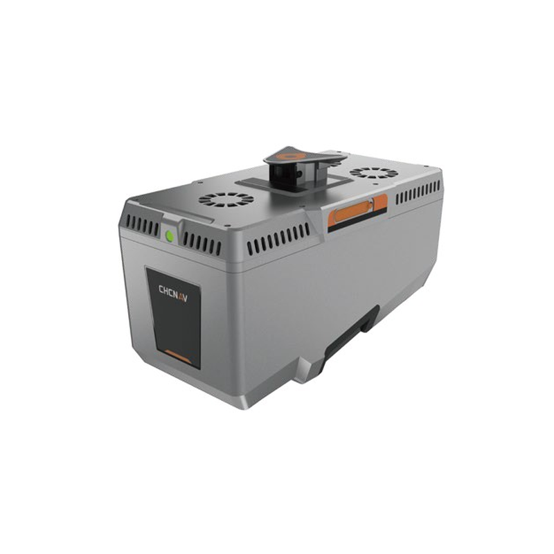
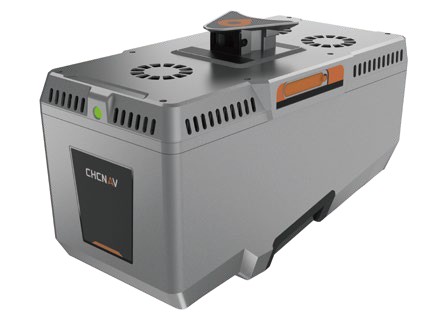
AlphaAir 15 Pro (AA15P)
Survey-grade LiDAR for large areas.
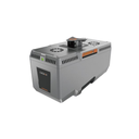
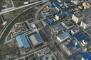
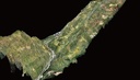
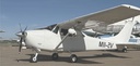
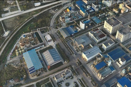
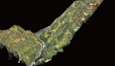
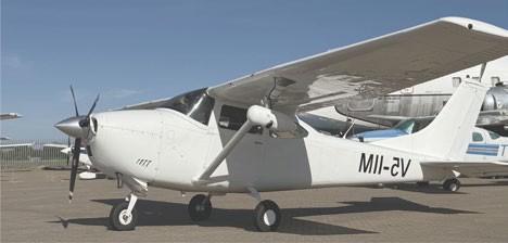
AlphaAir 15 Pro is a premium long-range airborne LiDAR for large-area geospatial data capture: topographic mapping, corridor surveying, city-scale 3D reality modelling and engineering survey. The CHCNAV X500 spec table lists AA15P as a supported payload; the AA15P brochure page itself focuses on the P60 VTOL and manned aircraft, so we confirm the exact combination with you before an order.
3,200 m
ranging distance
2.4 M
points per second
16
returns
2.6 kg
without camera
Typical values. According to CHCNAV's brochure.
What it does
Pictures
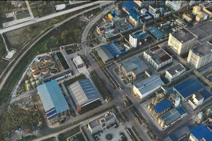
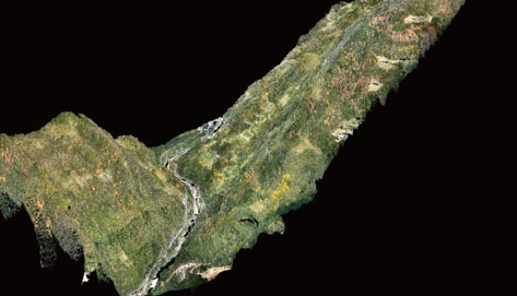
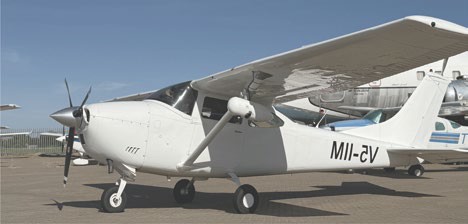
Part of the CHCNAV X500 system. See the CHCNAV X500.
Specifications
| Laser wavelength / class | 1550 nm; Class 3R (IEC 60825-1:2014) |
| Max. range at reflectivity > 80% | 3,200 m |
| Minimum range | 10 m |
| Max. measurement rate | 2,400,000 meas./s |
| Scan speed | 50 to 600 lines/s |
| Accuracy / precision (1σ at 150 m) | 15 mm / 8 mm |
| Field of view | 75° |
| Multi-period / targets per pulse | Up to 12 zones; up to 16 targets |
| Beam divergence | 0.44 mrad (0.025°) |
| Absolute accuracy | H and V: 2 to 5 cm RMS |
| Position accuracy, post-processed | 0.010 m RMS horizontal; 0.020 m RMS vertical |
| Attitude accuracy, post-processed | 0.005° RMS pitch/roll; 0.010° RMS heading |
| GNSS / IMU update rate | GPS, GLONASS, BeiDou, Galileo, QZSS; 600 Hz |
| Weight / dimensions | 2.6 kg without camera; 245 × 131 × 159 mm |
| Data storage / copy speed | 512 GB (optional 1 TB); 80 MB/s |
| Power | DC 24 V (15–32 V); typical 48 W, max 60 W |
| Operating temperature / IP | -20 to +50 °C; IP64 |
| Camera options | 100 MP medium-format orthophoto (35/50 mm); 300 MP full-frame oblique (R10ProS 40/56 mm) |
Specifications are taken from CHCNAV's product brochure and may change without notice.
Frequently asked questions
Does the AA15P fit the X500?
CHCNAV lists AA15P among the supported LiDAR payloads in the X500 specification. The AA15P brochure page itself describes deployment on the P60 VTOL and on manned aircraft. Contact us and we confirm the combination, weight and flight time for your job.
How dense is the point cloud?
CHCNAV states up to 1,000 pts/m² at 120 m above ground and 65 pts/m² at 500 m above ground.
Can it see the ground through vegetation?
With up to 16 returns and a narrower beam, CHCNAV states up to 3× stronger penetration for capturing ground points in dense vegetation.
Talk to us about the AlphaAir 15 Pro (AA15P)
We help you choose the right setup, quote it and arrange a demonstration at RoboCenter in Svedala.
Request a quote