THE FJD MIND PLATFORM
Digitalise your golf course
Give the course a memory - and the team one shared map.
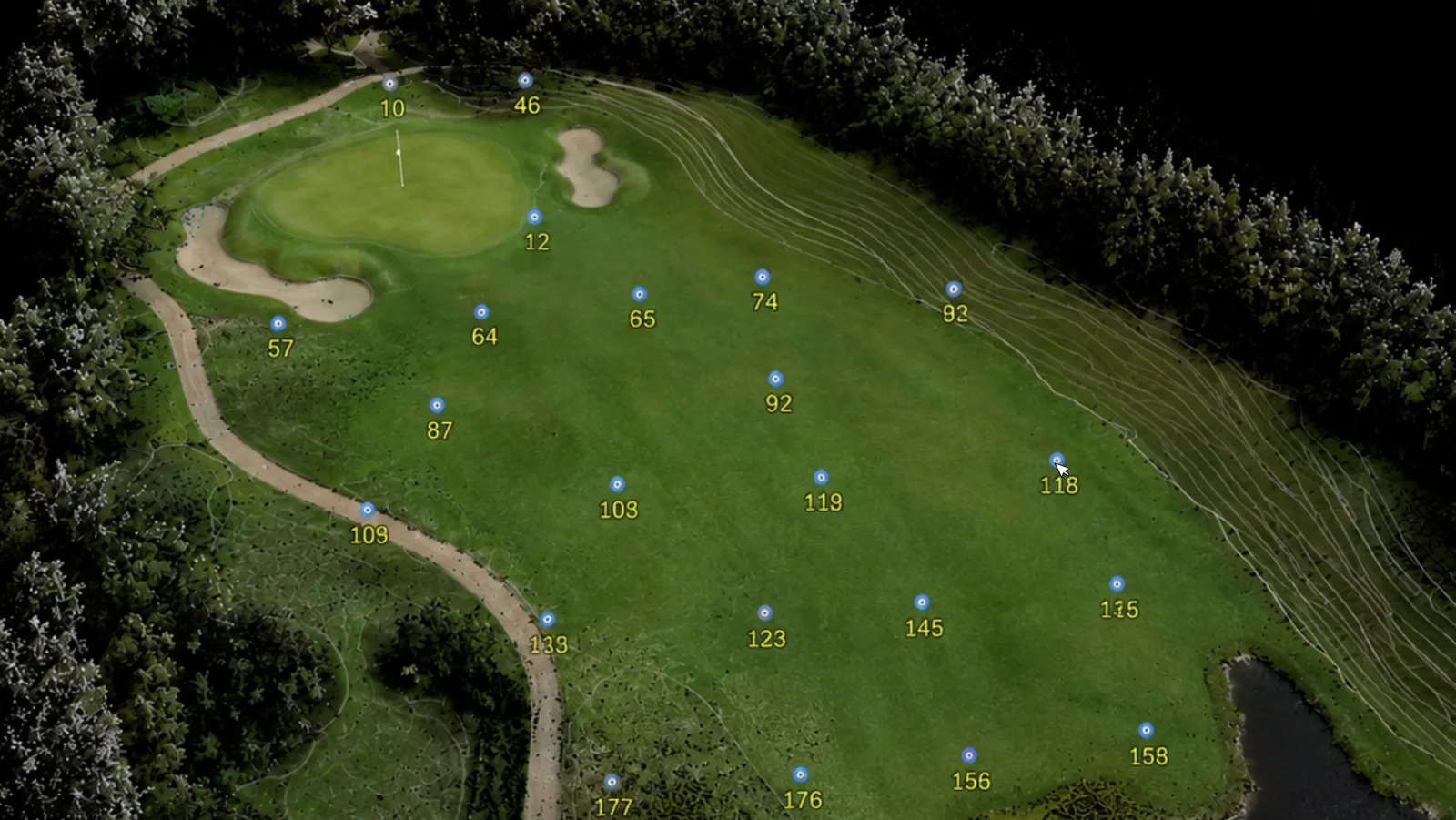
We scan your facility once. After that you have contours, trees, areas and irrigation gathered in GolfMind - the basis for budgets, maintenance plans and robotic mowing, year after year.
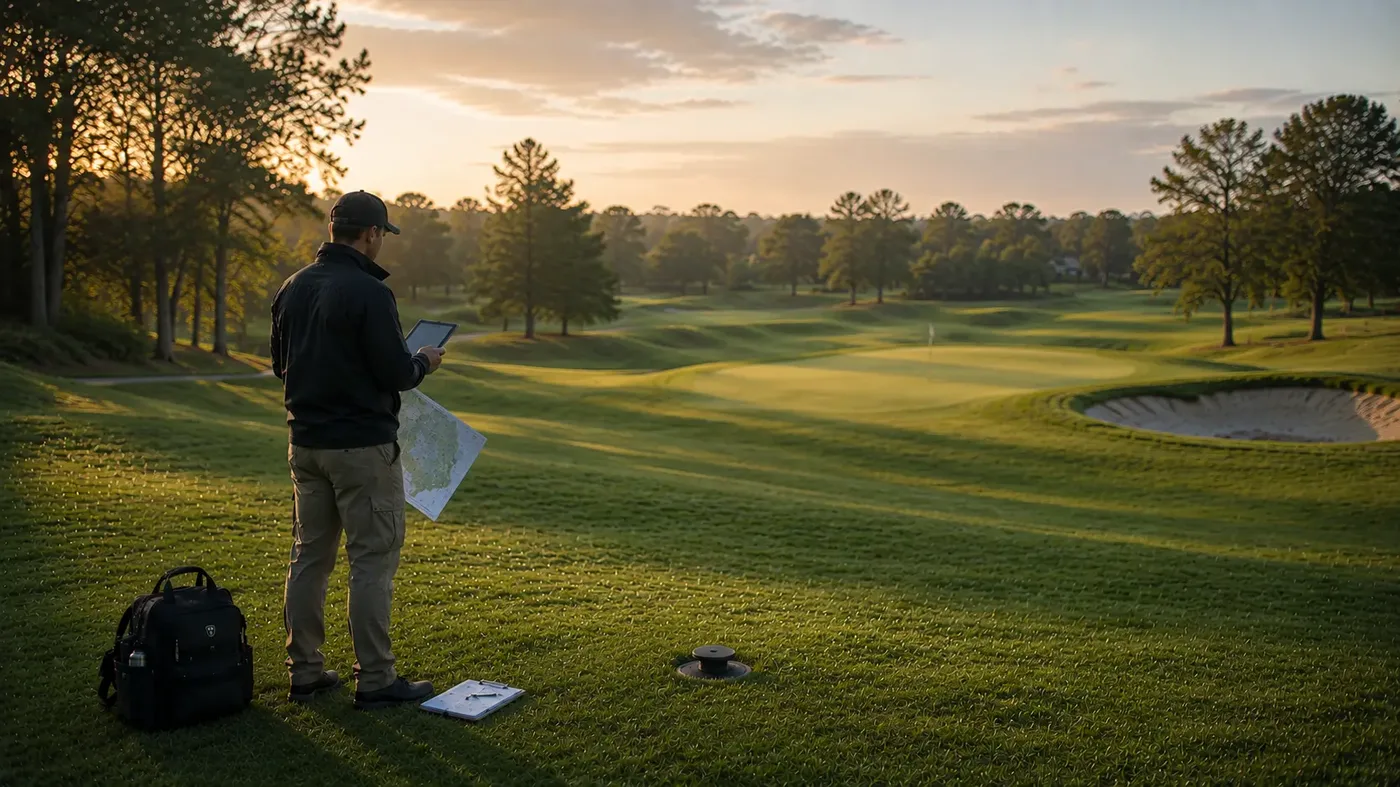
What do you get out of it?
The same course model - but different value depending on where in the club you sit.
The greenkeeper
No more walking the course to measure. Areas, sprinkler positions and tree stands live in your phone - and new staff see the same map you do.
The club manager
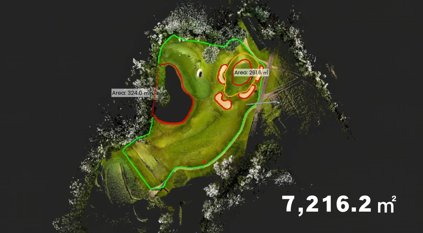
Documentation that holds up in the budget discussion: exact square metres behind every material order and every quote.
The board and course committee
Decisions on drainage, tree care or a robot investment get made on real data instead of estimates.
This is what you receive
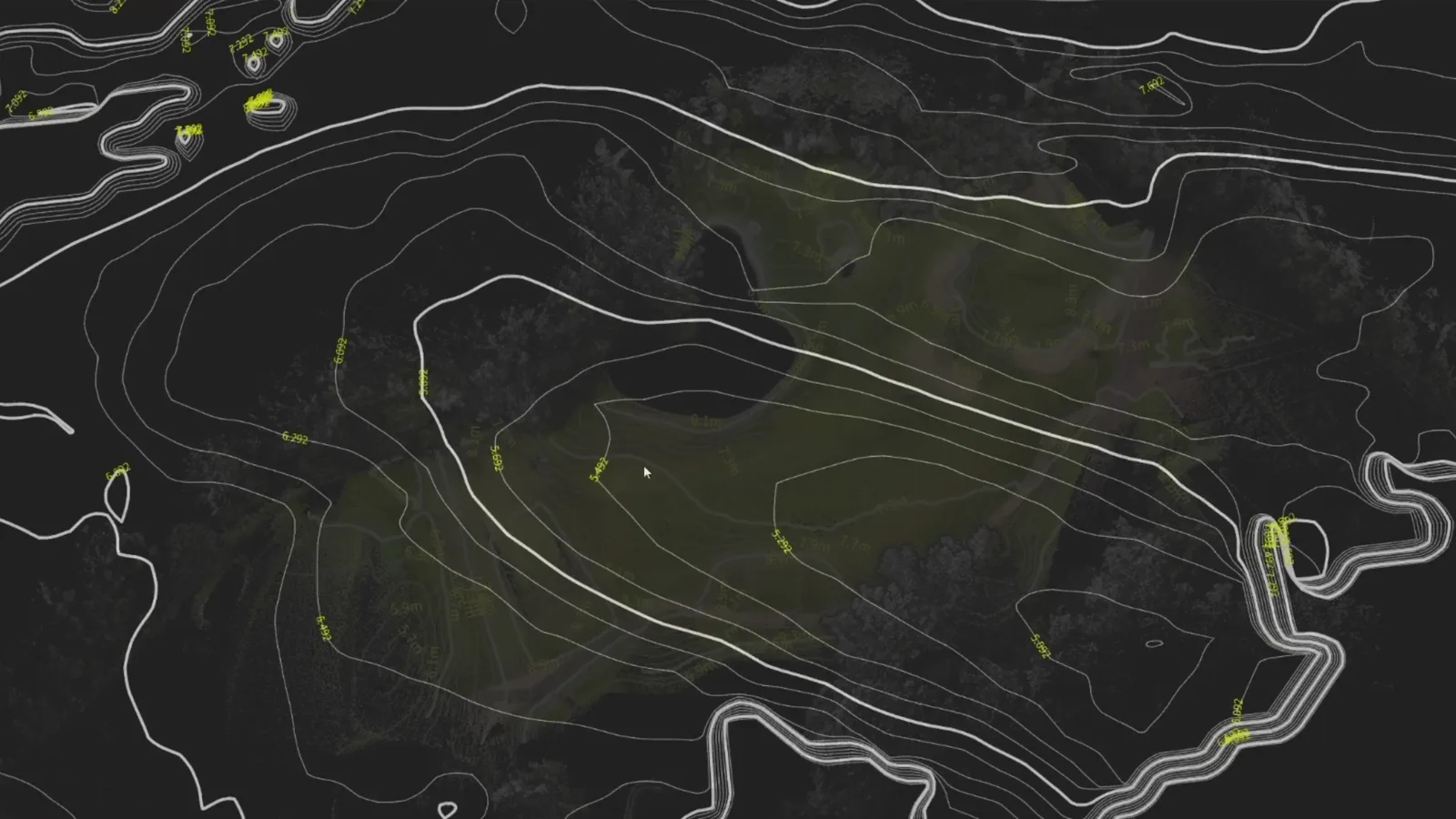
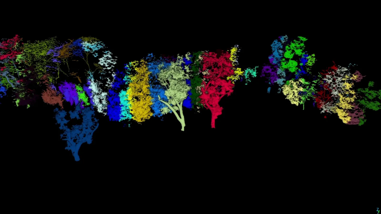
After the scan the course is fully modelled. Four layers - all searchable, all exportable as reports.
How a project runs
Scanning as a service - you need neither buy hardware nor assign staff.
1. Pre-meeting
We go through the course, your goals and which areas to include. You get a clear scope and a price before we start.
2. We scan - you play
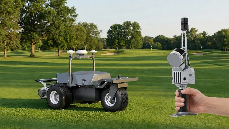
RoboService comes out and scans with the FJD Trion S2Max and sets boundaries with the V4E Pro. The scan does not disturb play, and you do not need to own any equipment.
3. The model is built
The point cloud becomes a finished course model in GolfMind with all four layers in place - contours, trees, areas and irrigation.
4. Handover and training
We walk your staff through the platform on site, in Swedish, and set up the reports you need.
5. The course keeps living
The model is reusable. After renovations or major changes we rescan only what changed - not the whole course again.
The foundation for robotic mowing
The course model is the same basis the robots work from. Zones, no-go areas and routes come out of GolfMind - and then the RCM01 mows the fairway while the RM21P takes the rough. If you are going to robotise, the scan is the first step anyway, so do it once and use it for everything.
See the golf offeringWhat it delivers
fewer manual course checks
less time spent coordinating
lower repeat surveying cost
The figures are FJDynamics own, measured at courses using the platform.
GolfMind is the first of the Mind family
FJD builds the Mind platforms around one idea: scan reality once with a Trion scanner, and let every decision rest on that model. GolfMind is the platform for golf facilities - ForestMind takes the same method into forestry.
GolfMind
AVAILABLE NOWThe course as a living map
Contours, tree register, exact areas and irrigation assets - the knowledge base for maintenance, budget and robotic mowing.
See the GolfMind platformForestMind
ON THE WAYThe forest measured without a tape
FJD's forestry platform replaces diameter tapes and calipers with scanning: individual trees are segmented automatically from the point cloud, giving diameter at breast height, height, crown width and position - and from there timber volume and carbon storage. Relevant for anyone who needs documented forest data, not least under the EU deforestation regulation (EUDR).
Interested in forestry? Get in touch.Both platforms run on the same hardware - the Trion scanners we already supply and support in Sweden. ForestMind is not yet released on the Swedish market; contact us and we will tell you as soon as it is.
Frequently asked questions
Do we have to buy the scanner?
No. RoboService scans your course as a service - you pay for the result, not for the equipment. If you do want to own a scanner, we sell those too.
How long does the scan take?
A course is normally scanned in one to two days depending on size and number of holes. Play can continue as usual meanwhile.
What does it cost?
The price depends on the size and scope of the course. We quote after the pre-meeting, and can combine scanning, platform and any robot fleet in one setup.
Who owns the data?
It is your course and your data. We deliver the model to you and you decide who in the club has access.
Is GolfMind worth it if we have no robots?
Yes. The tree register, area measurements and irrigation map carry their own value for maintenance and budgeting. Robot integration is an option, not a requirement.
How often does the course need rescanning?
The base model lasts over time. After rebuilds or major changes we rescan that part - not the whole facility.
Does it work for a 9-hole course or a practice facility?
Yes. The scope adapts - smaller facilities are quicker to scan and therefore cost less.
Start with a pre-meeting
We come out to your course, look at the conditions and show the platform with real data. After that you get a proposal with clear scope and price.