Walk. Scan. Own the entire reality as a file.
Handheld SLAM scanners and RTK measuring equipment from FJDynamics turn hours of staking out into minutes of walking — exact point clouds, volumes and BIM straight into the software. The same technology ties together our entire range: robotic mowers, precision agriculture and machine control.
Stop guessing your measurements
Measuring a site has traditionally required time, staking out and specialist skills. With FJD Trion you simply walk and scan — a handheld unit builds a real-time point cloud as you move through the environment, giving you an accurate digital model you can measure, draw and calculate directly in the software.
RoboService is the Swedish distributor of the FJDynamics Trion range. The same RTK infrastructure that powers our autosteering and robotic mowers is what gives Trion its measurement accuracy — which is why Trion isn't a standalone product for us, but the hub that ties the whole business together.
One ecosystem, three business areas
Trion is rarely the end goal in itself — it's the tool that gives our other systems better data to work with. Here's how it all connects:
Real Estate
Floor plans and BIM of existing buildings in minutes, without traditional surveying — relevant for property owners and managers during renovation or documentation. The compact Trion C1 is built for exactly this: room to floor plan in minutes.
Trion equipment direct from RoboService
These products are in our webshop and can be ordered directly.
LiDAR scanners
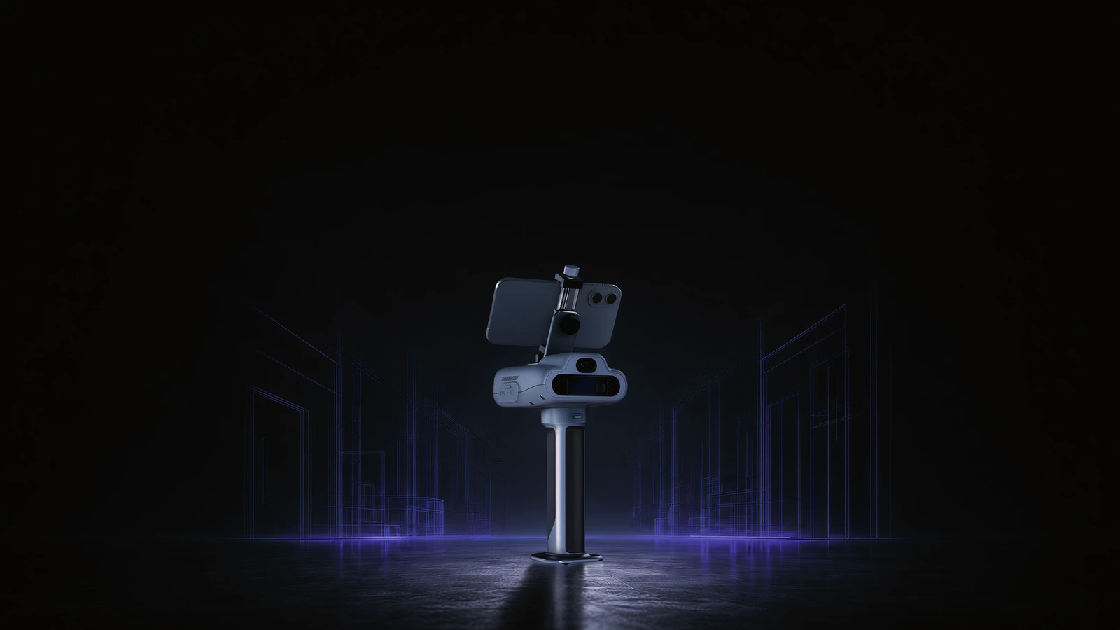
Trion C1
6 m range, 230,400 points/second. Compact all-in-one scanner — room to floor plan in minutes.
15,996 SEK
View product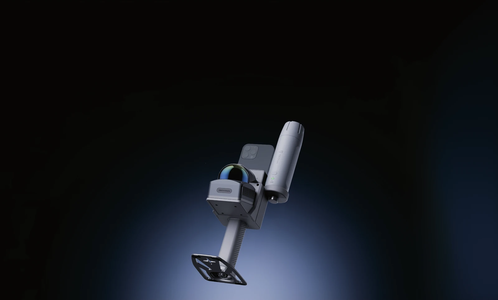
Trion V4e Go
50 m range, 154,600 points/second. Phone-mounted scanner, sold without GNSS receiver.
Price on request
View product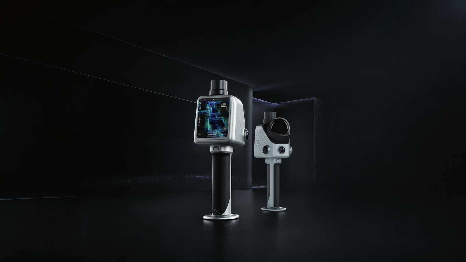
Trion X1
70 m range, 384,000 points/second. Built-in screen and voice control — no phone needed.
Price on request
View product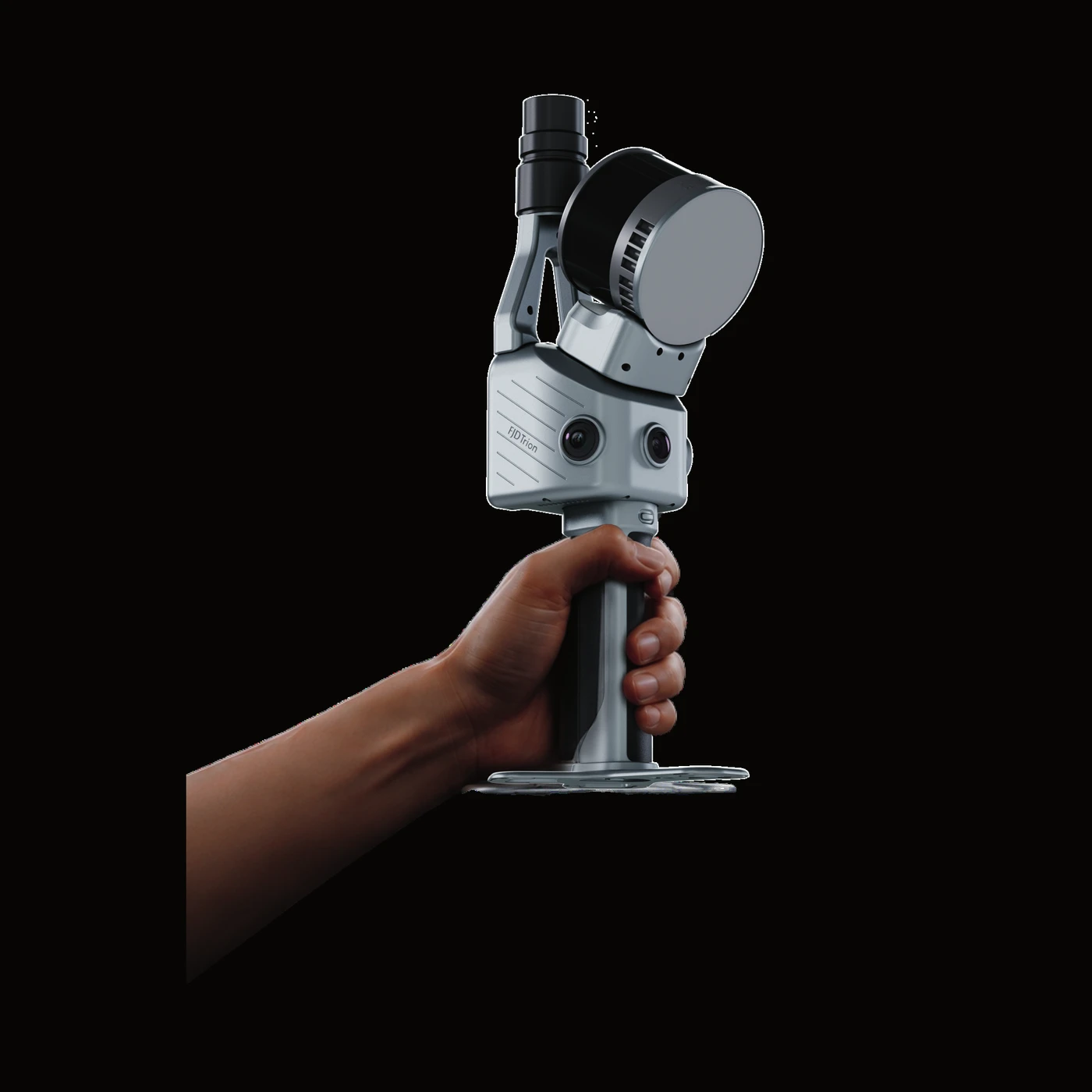
Trion TS1
120 m range, 640,000 points/second. Switch between handheld scanning and tripod mode — millimetre precision when you need it.
Contact us for price
View product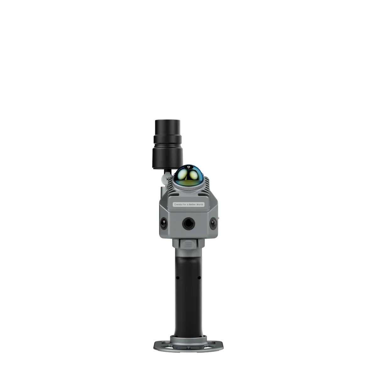
Trion P2
700 g, 70 m range, built-in RTK module. Available in 5 camera configurations.
Price on request
View product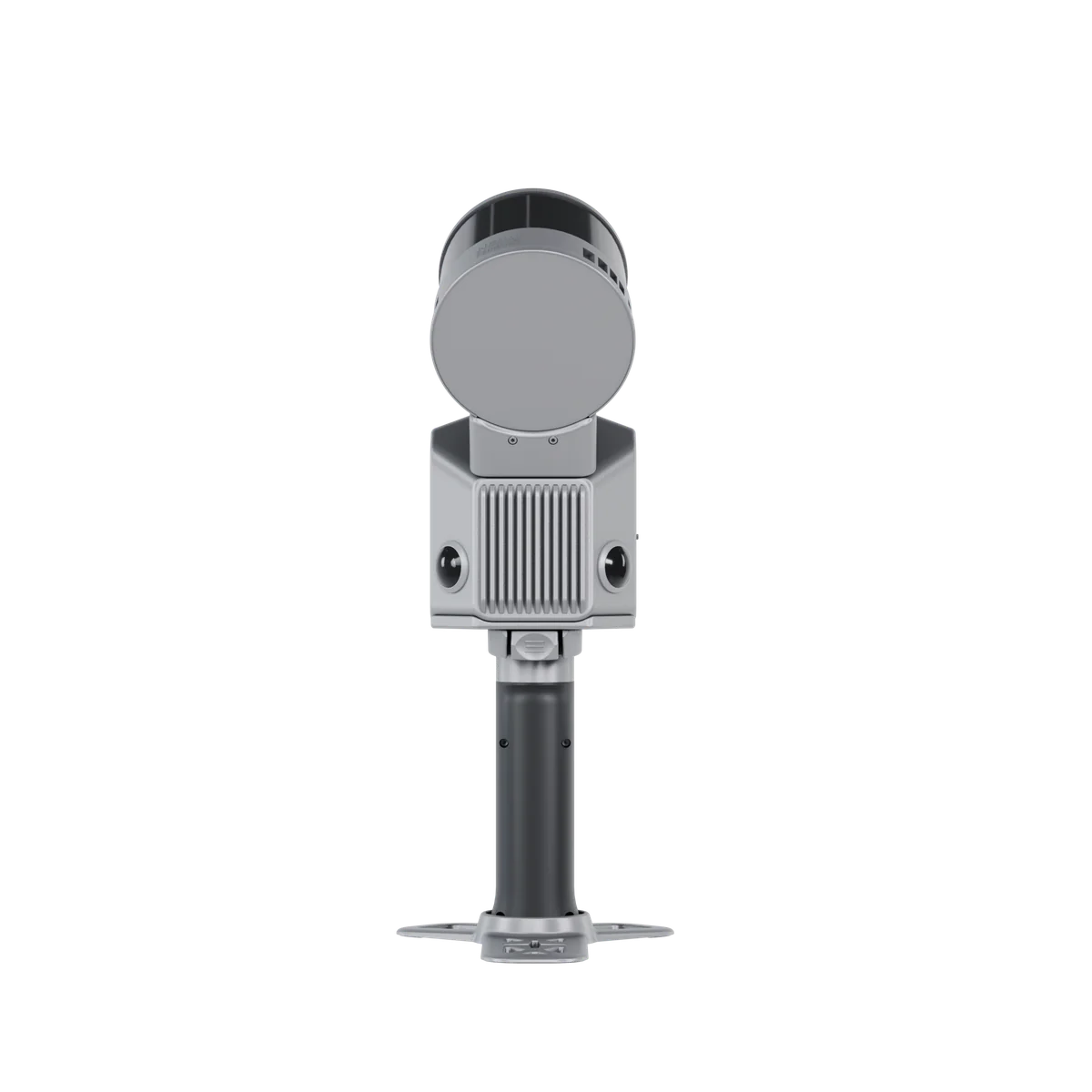
Trion S2
120 m range, 320,000 points/second. The base model in the S2 series.
Price on request
View product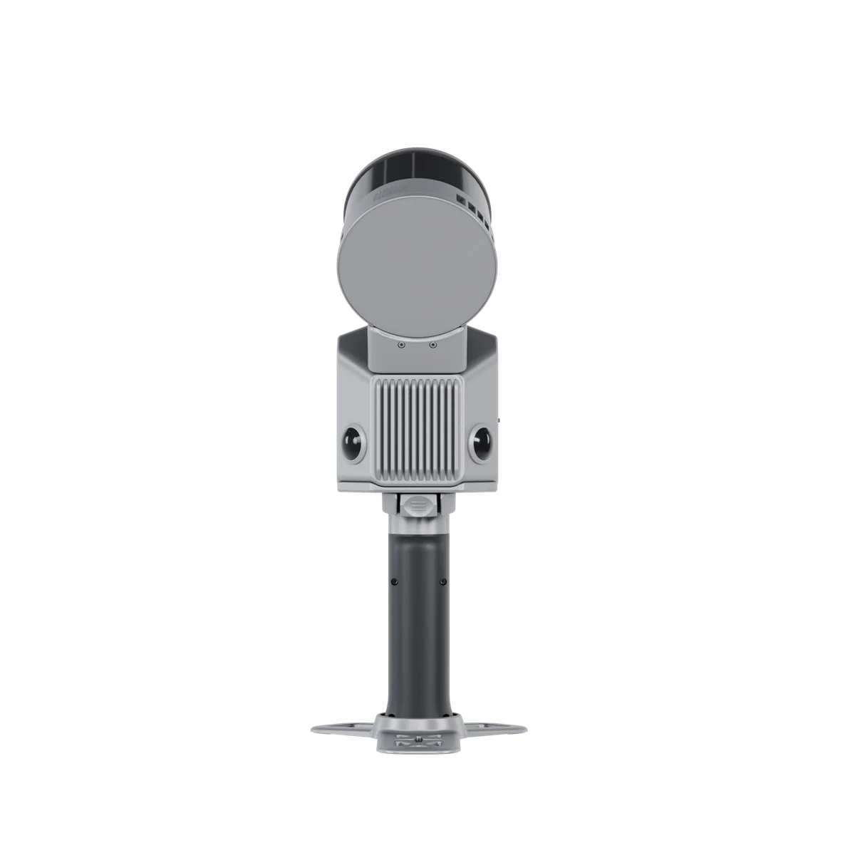
Trion S2Pro
Same 120 m range as S2, but double the point density: 640,000 p/s.
Price on request
View product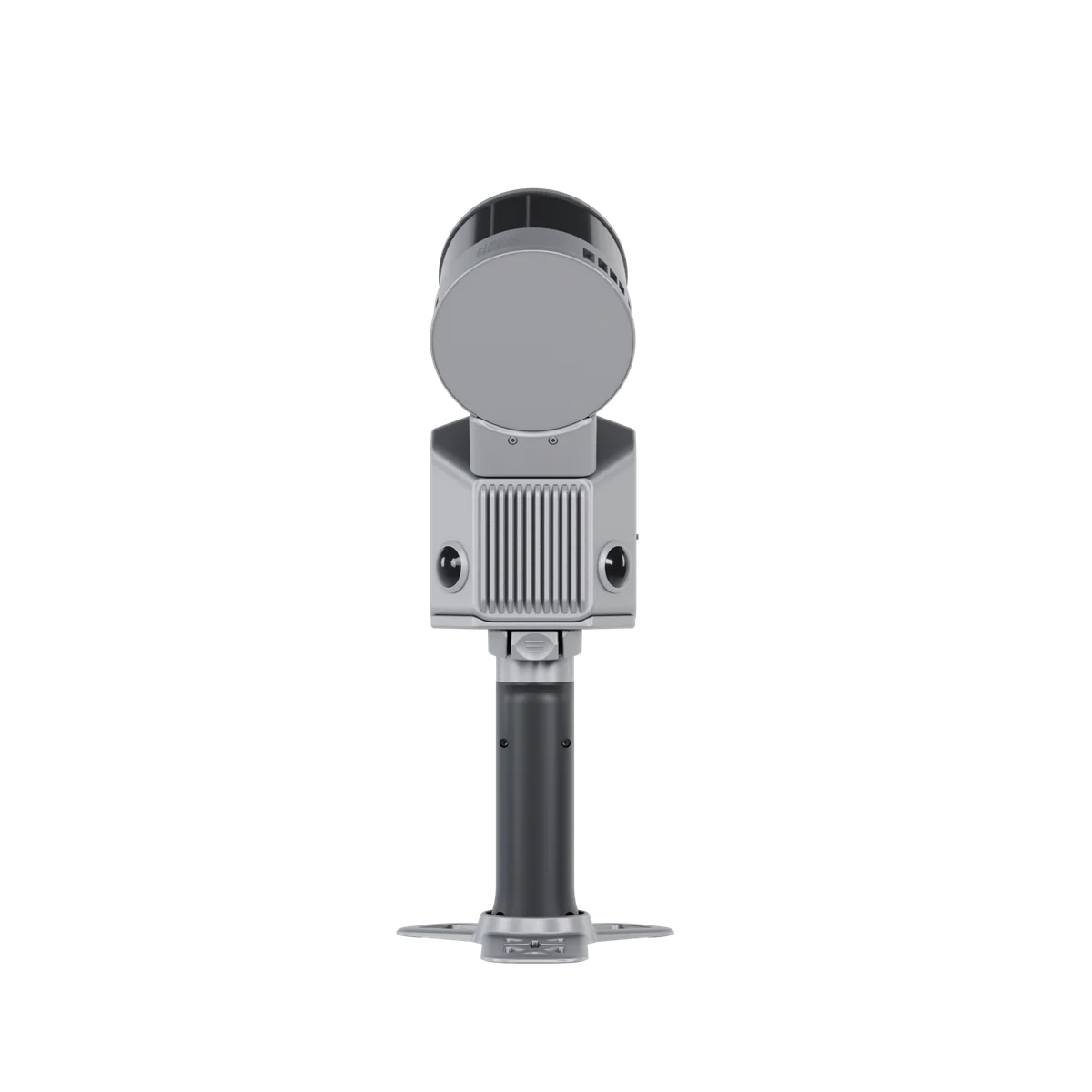
Trion S2Max
300 m range and 640,000 p/s — the flagship for large-scale projects.
Price on request
View productRTK receivers & positioning
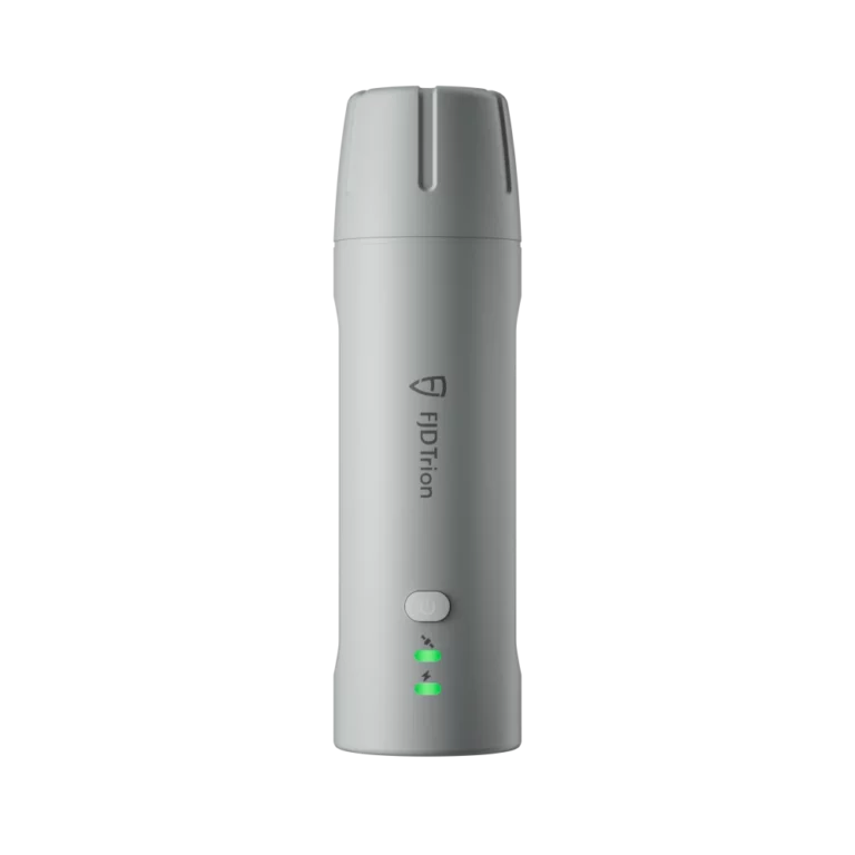
Trion V4E
Compact RTK receiver for point surveying and your own measurement solutions.
Price on request
View product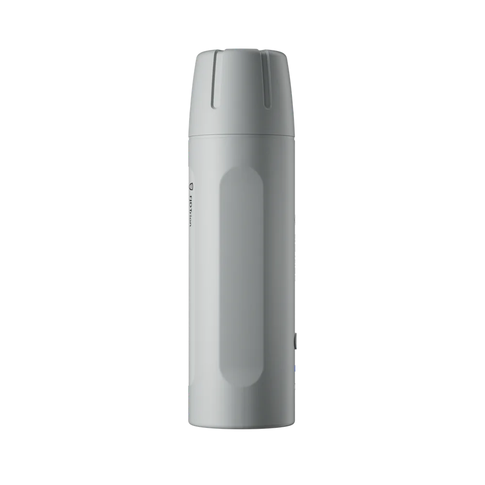
Trion V4e Pro
Extended RTK receiver with higher performance for demanding survey jobs.
Price on request
View product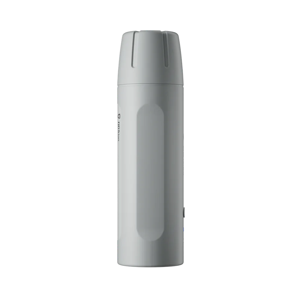
V4E Pro Survey Kit
Complete survey kit with a survey licence — ready to start measuring straight out of the box.
Price on request
View product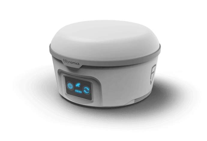
RTK base stations
Your own correction infrastructure, 8 km or 35 km range — powers the whole ecosystem.
From 8,596 SEK
View product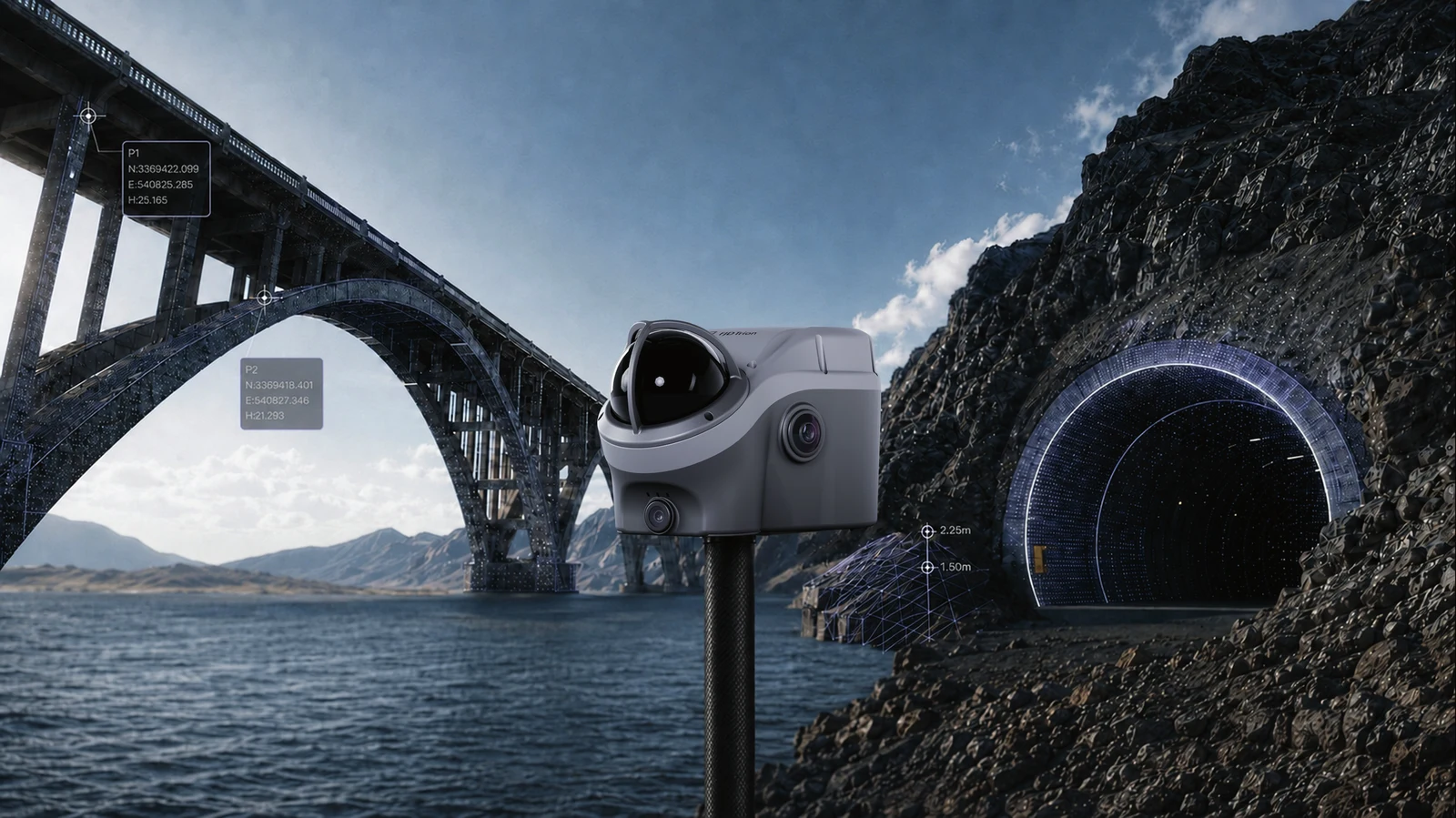
Trion V100F
GNSS + LiDAR + camera in one unit — holds cm-level accuracy for 10+ minutes in GNSS-denied environments (bridges, culverts, tunnels, mines). IP65.
Contact us for price
View productWhich Trion scanner should I choose?
The nine scanners share the same way of working — walk, scan, get a point cloud — but differ in range, point density and price. Compare the specifications, or contact us if you're unsure.
| Feature | Trion V4E / V4E Pro | Trion P2 | Trion S2 | Trion S2Pro | Trion S2Max | Trion C1 | Trion V4e Go | Trion X1 | Trion TS1 |
|---|---|---|---|---|---|---|---|---|---|
| Type | Phone-based RTK receiver | Handheld LiDAR scanner | Handheld LiDAR scanner | Handheld LiDAR scanner | Handheld LiDAR scanner | Handheld LiDAR scanner | Phone-mounted LiDAR scanner | Handheld LiDAR scanner | Handheld LiDAR scanner with tripod mode |
| Range | 50 m (with external phone camera) | 70 m | 120 m | 120 m | 300 m | 6 m @ 90% reflectivity | 50 m @ 90% reflectivity | 70 m @ 80% reflectivity | 120 m |
| Point density | ~154,600 p/s | 200,000 p/s | 320,000 p/s | 640,000 p/s | 640,000 p/s | 230,400 p/s | 154,600 p/s | 384,000 p/s | 640,000 p/s |
| Relative accuracy | 1 cm | 1 cm | ≤1 cm | ≤1 cm | ≤1 cm | – | 1 cm (3 cm abs.) | 1 cm (3 cm abs.) | 1 cm handheld; 4–38 mm tripod (10–30 m) |
| Weight | Handheld + your own phone | 700 g – 1.5 kg depending on configuration | 1.8 kg | 1.8 kg | 1.8 kg | 950 g | 890 g | – | 1.75 kg |
| Camera | Your own phone camera | 2×48 MP + 1×2 MP built-in, optional external 360° | 2×12 MP built-in | 2×12 MP built-in | 2×12 MP built-in, optional external 360° | – | Your own phone camera | 360° panoramic, 2×48 MP built-in | 3×48 MP + 1×2 MP built-in |
| RTK/GNSS | Detachable GNSS module | Built-in on certain configurations | Optional | Optional | Optional | – | Optional (add V4e Pro) | Built-in | – |
| Vehicle/drone mounting | No | No | No | No | Yes | No | No | No | Yes |
| Price from | Contact us | Contact us | Contact us | Contact us | Contact us | 15,996 SEK | Contact us | Contact us | Contact us |
| Best for | A first introduction to 3D scanning, smaller rooms and areas | Compact to medium-sized environments, one-person jobs | Large-scale projects where 120 m is enough | Complex structures where extra point density makes a difference | The largest areas — roads, industrial sites, vehicle and drone data collection | The fastest way in — simple rooms and floor plans | Stepping up from phone-only scanning, indoor and outdoor | Professional fieldwork without a phone, built-in screen and voice control | Projects that switch between fast field scanning and millimetre precision on a tripod |
All prices exclude accessories and software licence. Point rates and range per FJDynamics' own specifications, measured at 80% reflectivity.
The Full Trion Family
Data collection and positioning at the edges, processing in the middle. Here's how the whole FJD Trion ecosystem fits together:
Trion S2
120–300 m range across three tiers (S2/S2Pro/S2Max) — for larger, more demanding projects.
View product
Trion TS1
Switches between handheld and tripod scanning, 1.75 kg — the professional choice when a project needs millimetre-level results.
View productFJD Trion TerraMind
Cloud platform and 3D control systems (EG10/EC100/GC100/DC100) for excavators, graders and dozers — a new product line within the same FJD Trion ecosystem, aimed at construction. No pricing set by FJD yet.
See TerraMind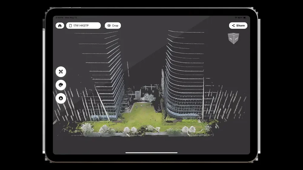
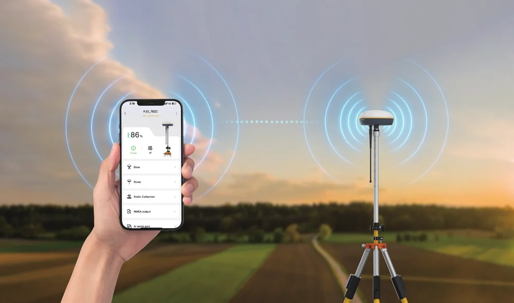
Trion V1 Rover RTK
Measuring pole with RTK base station for traditional point surveying — the antenna that gives absolute GPS coordinates.
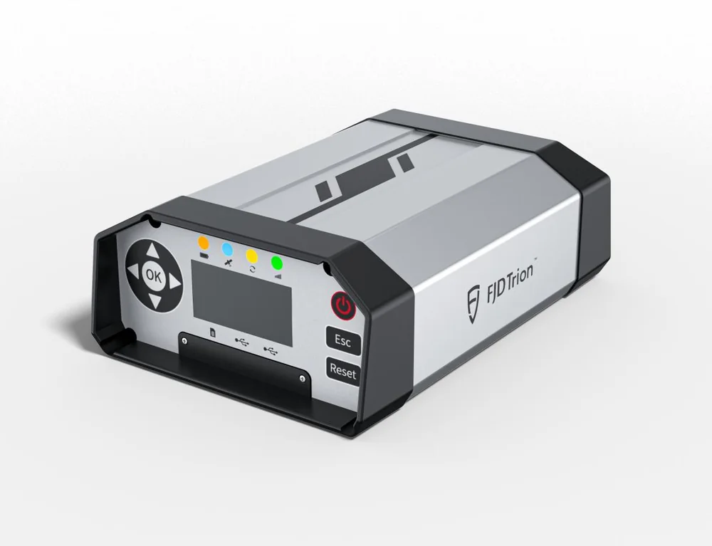
N10 CORS / N20
Correction infrastructure — the same technology that powers our robotic mowers and autosteering systems.
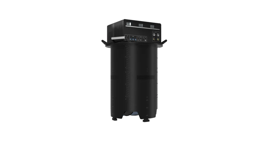
O1 Aerialmapper / AM150a
Airborne data collection for larger areas — collecting where you can't walk.
Need a site scanned?
Tell us what you want to measure and where, and we'll recommend the right equipment — or come out and scan it for you.
Contact usSee what Trion can do for your site
Book a free demo at RoboCenter, or read more about how the same RTK technology powers our precision agriculture autosteering and our construction machine control.
Book a demo