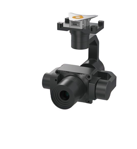
SURVEY CAMERA
C504 survey camera
Full-frame detail from the air.
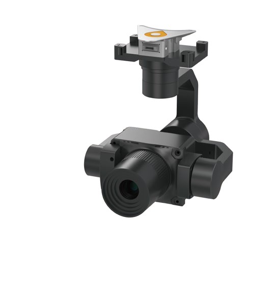
The C504 is a lightweight, full-frame single-lens aerial survey camera for high-precision mapping and inspection. It uses a Sony full-frame sensor, a professional mapping lens and a long-life in-lens shutter for stable, reliable image capture.
45 MP
full-frame sensor
280 g
weight
3-axis
stabilised gimbal
256 GB
storage
According to CHCNAV's brochure.
What it does
Part of the CHCNAV X500 system. See the CHCNAV X500.
Specifications
| Effective pixels / sensor | 45 MP; 36 × 24 mm full frame; pixel size 4.4 µm |
| Image size | 3:2 (8192 × 5456 px) |
| Focal length / aperture | Standard 40 mm, customisable 56 mm; F5.6 |
| Minimum focus distance | 20 m |
| ISO | Auto 50–1600; manual 100–1600 |
| Shutter speed | 1/1250, 1/1000, 1/800, 1/500 |
| Photo interval | ≥ 0.9 s |
| Working modes | Flight control trigger / equal time / equal distance |
| Video | MP4 (H.264), 4K 3840 × 2160 at 30 fps |
| Storage / GPS disk capacity | 256 GB / 8 GB |
| Weight / dimensions | 280 g; 75.5 × 60 × 107.5 mm |
| Power / interface | CHC-Aport |
| Protection / operating temperature | IP53; -20 to 50 °C (storage -20 to 60 °C) |
Specifications are taken from CHCNAV's product brochure and may change without notice.
Frequently asked questions
What is the C504 used for?
CHCNAV describes it for aerial surveying, inspection, emergency mapping and geospatial data collection that needs high-quality imagery and efficient UAV deployment.
Which drone does it fit?
The C504 is part of CHCNAV's geospatial payload range. The X500 specification lists the RGB cameras C5 and C30 as supported camera payloads, so we confirm with CHCNAV that the C504 fits your X500 setup before an order.
Can I adjust the camera settings in the field?
Yes. Parameters are adjusted through a Bluetooth mini programme, and the built-in colour display shows the current shutter parameters and system status.
Talk to us about the C504 survey camera
We help you choose the right setup, quote it and arrange a demonstration at RoboCenter in Svedala.
Request a quote