

AIRBORNE LIDAR
AlphaAir 6 (AA6)
LiDAR for complex, high-relief terrain.
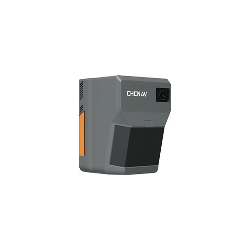
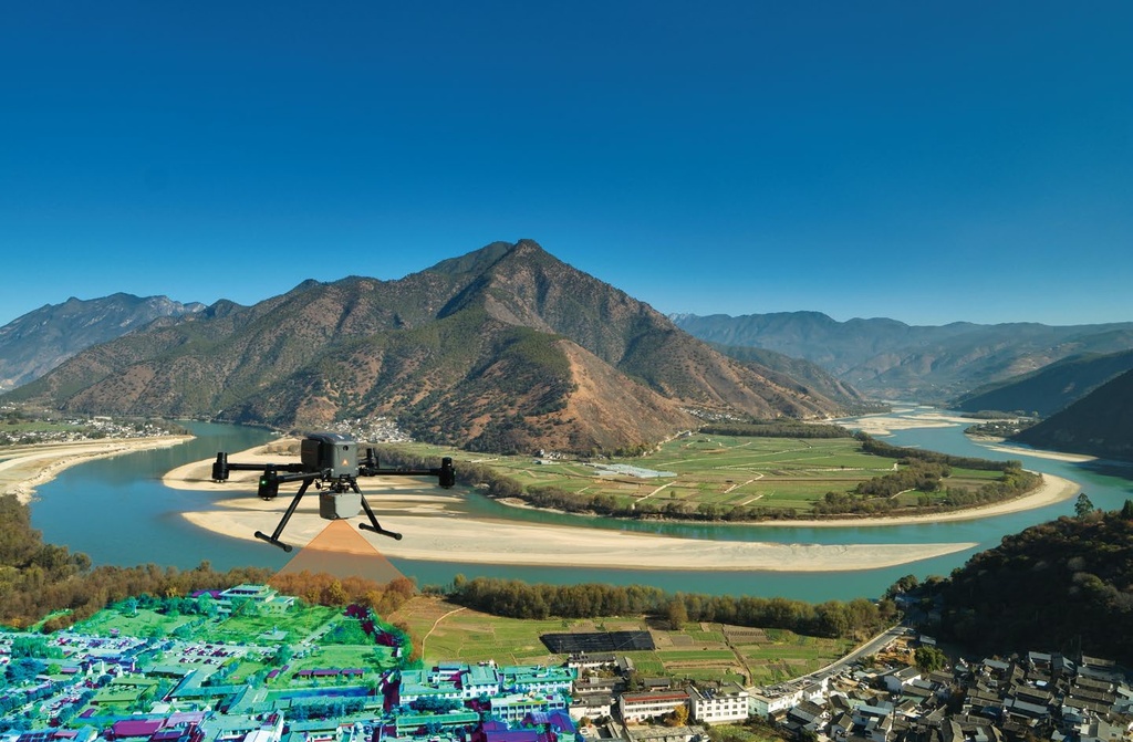
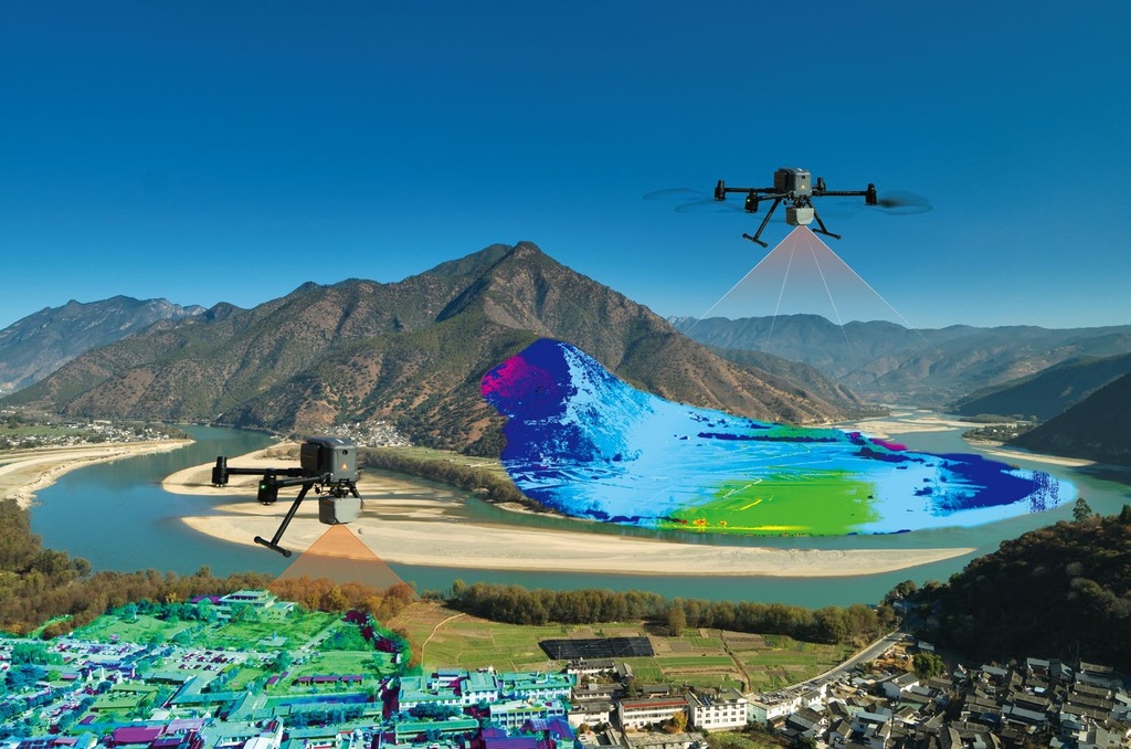
AlphaAir 6 is an airborne LiDAR with prism scanning and a high-grade inertial navigation system, built for efficient surveying in complex and high-relief terrain. 5th-generation waveform processing improves point cloud density and completeness, and the lightweight integrated design extends flight endurance.
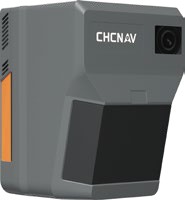
2,100 m
ranging distance
2 M
points per second (max)
100 MP
integrated camera
1.35 kg
weight
Typical values. According to CHCNAV's brochure.
What it does
Pictures
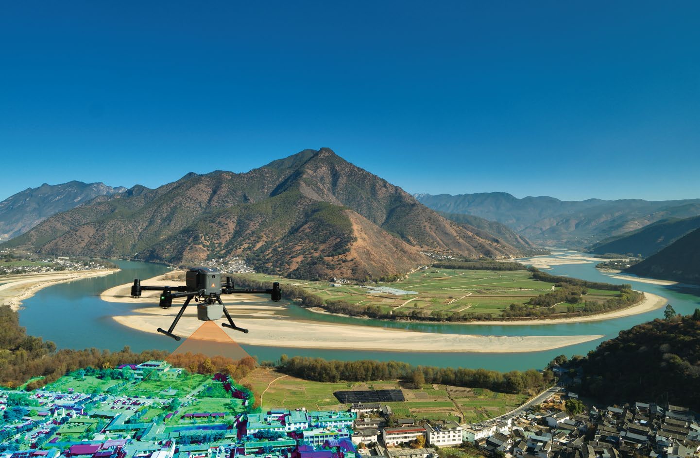
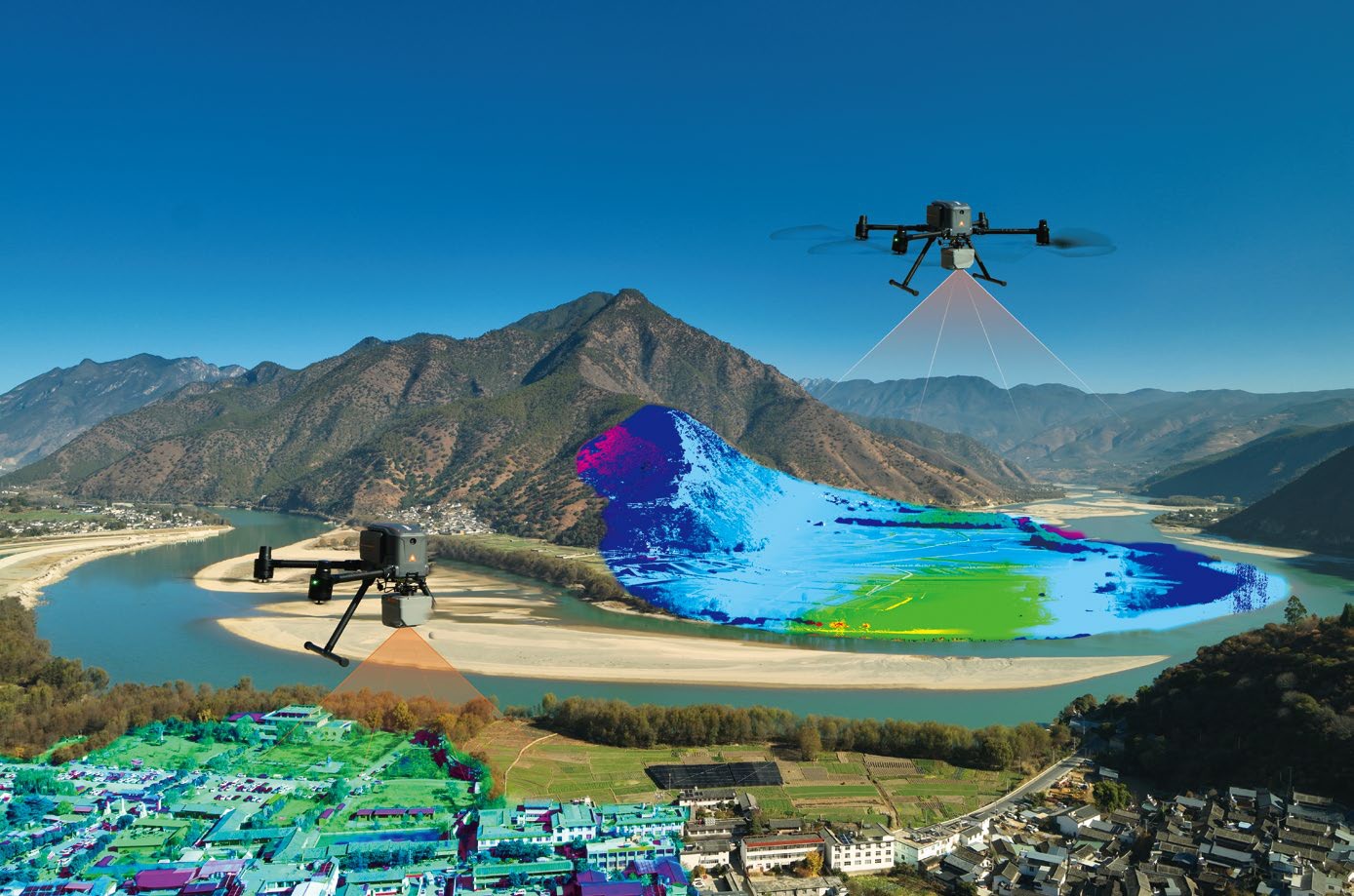
Part of the CHCNAV X500 system. See the CHCNAV X500.
Specifications
| Laser wavelength / class | 1535 nm; Class 3R (IEC 60825-1:2014) |
| Max. range at reflectivity > 80% | 2,100 m |
| Minimum range | 10 m |
| Accuracy / precision (1σ at 150 m) | 15 mm / 5 mm |
| Field of view | 90° |
| Max. scan rate | Up to 2,000,000 pts/s; scan speed 400 lines/s |
| Returns / multi-period | Up to 16 returns; up to 7 zones |
| Camera | 4/3-inch CMOS; 25 MP (6144 × 4096) or 100 MP (12288 × 8192); 12 mm focal length; 74° FOV; min. trigger interval 0.5 s at 25 MP and 1 s at 100 MP |
| GNSS | GPS L1/L2/L5, GLONASS L1/L2, BeiDou B1/B2/B3, Galileo E1/E5a/E5b |
| IMU update rate | 500 Hz |
| Attitude accuracy, post-processed | 0.006° RMS pitch/roll; 0.015° RMS heading |
| Position accuracy, post-processed | 1 cm + 1 ppm (H); 1.5 cm + 1 ppm (V) |
| System accuracy | 3 cm V / 3 cm H (RMSE) at 120 m AGL; 5 cm V / 6 cm H at 300 m AGL |
| Weight / dimensions | 1.35 kg; 155 × 120 × 129 mm |
| Data storage / copy speed | 512 GB; 200 MB/s |
| Power | 24 V (17–30 V); typical 40 W, max 46 W |
| Operating temperature / IP | -20 to +50 °C; IP64 |
| Optional software | CoPre (pre-processing), CoProcess (point cloud processing) |
Specifications are taken from CHCNAV's product brochure and may change without notice.
Frequently asked questions
What is the difference between AA6 and AA6D?
AA6 has one 100 MP camera with a 4/3-inch sensor (25 MP mode available) and weighs 1.35 kg. AA6D has two 26 MP cameras with a 110° field of view and weighs 1.85 kg. The laser scanner specifications are the same.
Which drone does it fit?
AA6 is supported on the CHCNAV X500, where CHCNAV states up to 50 minutes of effective flight time. Open interfaces also allow use on other multirotor and fixed-wing platforms.
Do I need software to process the data?
CHCNAV offers CoPre for pre-processing (POS solve, adjust and refine, generate point cloud) and CoProcess for point cloud processing as optional software.
Talk to us about the AlphaAir 6 (AA6)
We help you choose the right setup, quote it and arrange a demonstration at RoboCenter in Svedala.
Request a quote