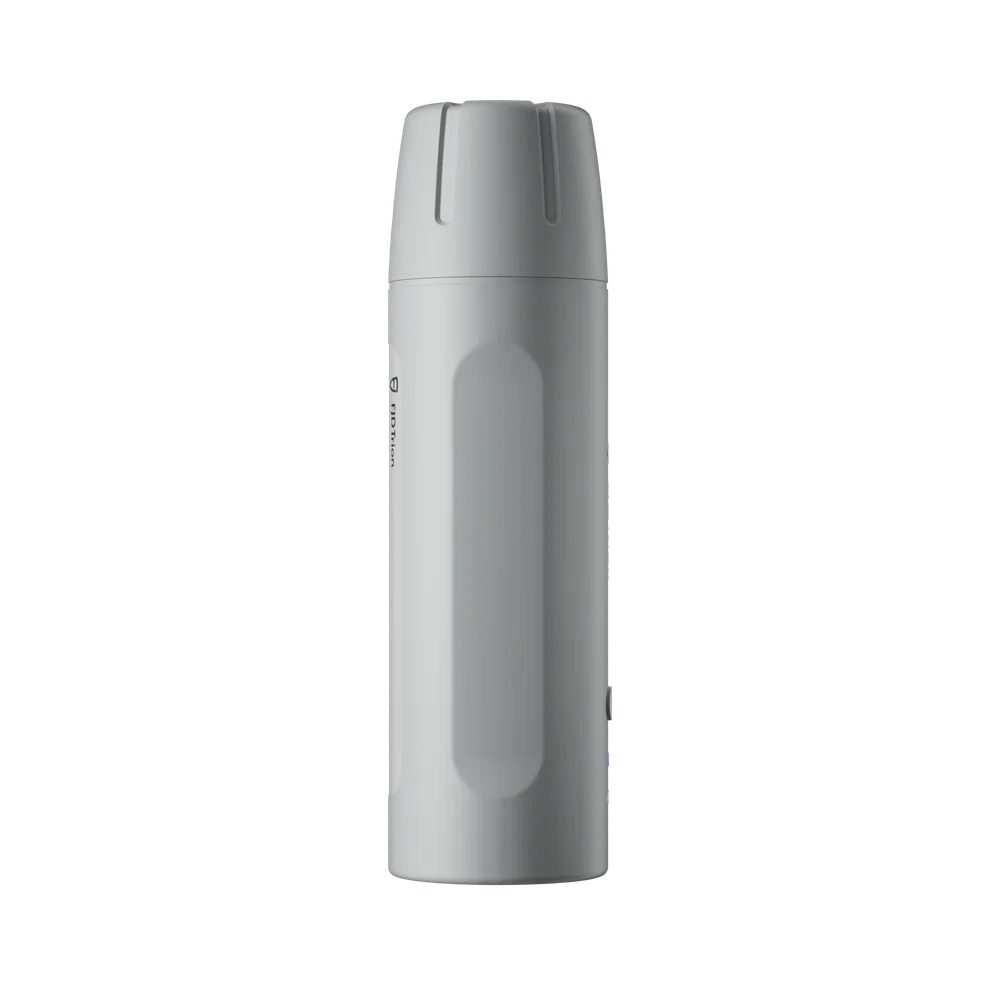
Laser precision made easy.
V4e Pro offers pole-free point measurement and stakeout – measure targets that are difficult or awkward to reach without having to position the pole correctly.
- Pole-free measurement: point, measure, move on with confidence
- Tilted measurement: capture exact coordinates even at an angle
- Laser-guided stakeout with a green beam that confirms the position
- Weight 320 g, laser accuracy 3 cm @ 3 m, max 30° tilted measurement
Note: replaces FJD's earlier "V4E Pro Mini RTK Receiver" name (same product role, new FJD branding Sept 2026). No new price stated by FJD in the September price list – current price retained pending confirmation.
Features
- Pole-free point measurement - measure targets that are difficult or dangerous to reach without positioning the pole exactly right
- Built-in IMU and laser (unlike the base model V4E) - stable even during tilted measurement, up to 30° tilt
- Laser-guided stakeout with a green beam that visually confirms the correct point
- Light: 320 g
- Laser accuracy 3 cm @ 3 m
When it fits best
- Precision agriculture - mark out boundaries and reference points for fields/robotic lawn mowers (already used in RCM01/RM21P/GolfMind workflows)
- Construction projects with FJD Trion PaintMaster - set reference points on foot instead of driving the robot to every location
- A complement to a handheld LiDAR scanner (C1/V4e Go/S2/X1) to give the point cloud an absolute GNSS coordinate
Limitations
- No LiDAR of its own - measures individual points, not whole surfaces. Combine with a real scanner for point clouds
- More expensive than the base model V4E (without IMU/laser) - the V4E is enough for simpler RTK needs without tilted measurement
- No new price from FJD since the rename in Sept 2026 - contact us for the current price
Compare with the base model FJD Trion V4E (no IMU/laser, lower price) - see the V4E product page for its own FAQ on the difference.
Features
- Pole-free point measurement - measure targets that are difficult or dangerous to reach without positioning the pole exactly right
- Built-in IMU and laser (unlike the base model V4E) - stable even during tilted measurement, up to 30° tilt
- Laser-guided stakeout with a green beam that visually confirms the correct point
- Light: 320 g
- Laser accuracy 3 cm @ 3 m
When it fits best
- Precision agriculture - mark out boundaries and reference points for fields/robotic lawn mowers (already used in RCM01/RM21P/GolfMind workflows)
- Construction projects with FJD Trion PaintMaster - set reference points on foot instead of driving the robot to every location
- A complement to a handheld LiDAR scanner (C1/V4e Go/S2/X1) to give the point cloud an absolute GNSS coordinate
Limitations
- No LiDAR of its own - measures individual points, not whole surfaces. Combine with a real scanner for point clouds
- More expensive than the base model V4E (without IMU/laser) - the V4E is enough for simpler RTK needs without tilted measurement
- No new price from FJD since the rename in Sept 2026 - contact us for the current price
Compare with the base model FJD Trion V4E (no IMU/laser, lower price) - see the V4E product page for its own FAQ on the difference.
| Weight | 320 g |
| Battery life | 12+ hours |
| Product type | Handheld GNSS receiver with IMU and laser |
| Positioning accuracy | ±1.5 cm static, tilt compensation ±60° |
| Number of GNSS channels | 1408 (GPS/BDS/GLONASS/Galileo/QZSS/SBAS) |