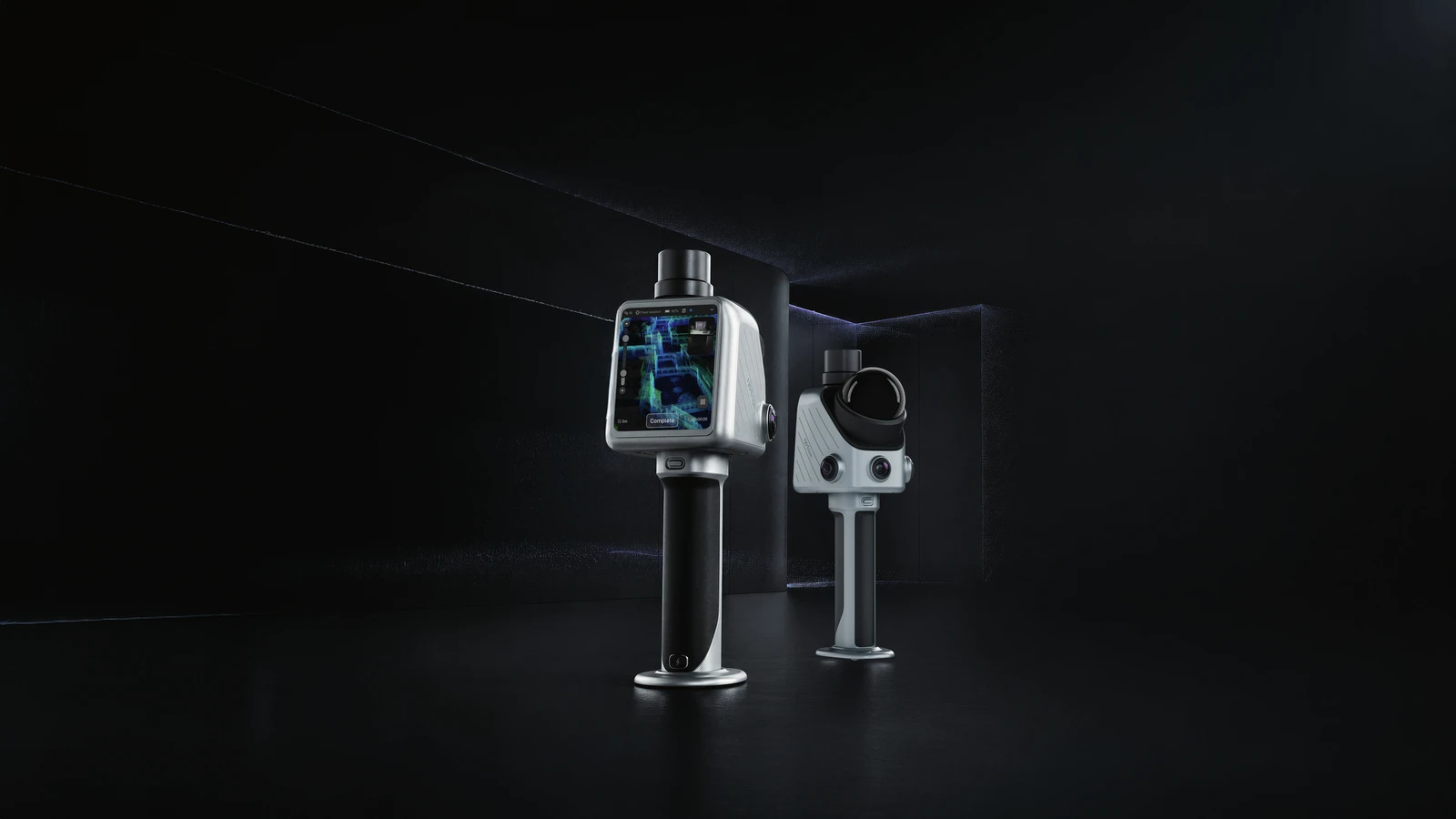
Pro-grade spatial work made effortless.
X1 combines GNSS, LiDAR, a 360° camera, a built-in screen and voice control in one and the same workflow – no phone is needed to see what is being scanned or what is already covered.
- Built-in 3.9-inch OLED screen shows the scan directly on the device
- 360° panoramic camera, 2 × 48 MP
- Mark deviations directly in the scan and assign actions on site
Features
- 384,000 points/second, range 70 m at 80% reflectivity
- Built-in GNSS - no external receiver needed for RTK position
- Built-in 3.9-inch OLED screen - shows the scan directly on the device
- 360° panoramic camera, 2×48 MP
- Voice control - can be used with gloves or when your hands are busy
- Mark deviations directly in the scan and assign actions on site
Best suited for
- Field and construction sites where the operator does not want to depend on a connected phone
- Staff with limited IT experience - voice control and the screen make the tool self-explanatory
- Quick registration on construction sites and in warehouses, even by temporary staff
Limitations
- No weight stated in FJD's spec sheet - heavier than the C1/V4e Go because of the built-in screen and GNSS
- No vehicle or drone mounting (unlike the S2Max)
- Higher price than the entry-level C1 and V4e Go - justified by the built-in GNSS, screen and voice control
Compare the X1 with the S2 series (longer range, no screen) and the TS1 (switches between handheld and tripod mode) in the table further up.
| Battery life | 5 h |
| Range | 70 m @ 80% reflectivity |
| Product type | Handheld LiDAR scanner with screen |
| Point density | 384,000 pts/s |
| Relative accuracy | 3 cm absolute; 1 cm relative |