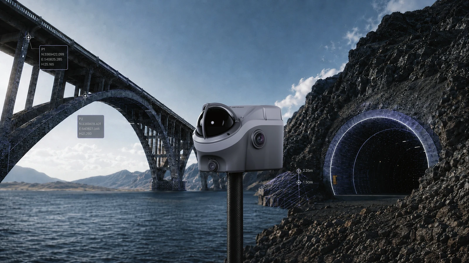
Surveying without limits.
V100F combines GNSS surveying, 3D scanning and image capture in one unit – built for surveying where the GNSS signal is weak or completely absent: bridges, culverts, tunnels.
- SureFix survey maintains centimetre accuracy even when the GNSS signal is lost (e.g. under bridges and in tunnels)
- Register a global coordinate at the tunnel survey (the entrance) and continue into the tunnel for a continuous 3D model with global coordinates – without a robotic total station
- GNSS H: 8 mm + 1 ppm RMS, V: 15 mm + 1 ppm RMS
- LiDAR measurement approx. ±5 cm @ 20 m, SureFix measurement approx. ±5 cm @ 20 m radius
- UHF radio, 4G, WiFi, Bluetooth and NFC built in
- Cameras: bottom 12 MP, LiDAR camera 12 MP, colour camera 2 MP
- 215 × 130 × 120 mm, 1.75 kg
Price on request – contact us for the current price.
Features
- GNSS H: 8 mm + 1 ppm RMS, V: 15 mm + 1 ppm RMS
- LiDAR-based SureFix survey maintains centimetre precision for over 10 minutes entirely without a GNSS signal
- Registers a global coordinate at the entrance and then continues into the tunnel/culvert for a continuous 3D model with correct coordinates
- UHF radio, 4G, WiFi, Bluetooth and NFC built in
- 3 cameras (bottom 12 MP, LiDAR 12 MP, colour 2 MP), 215×130×120 mm, 1.75 kg
When it fits best
- Tunnels, mines and culverts where GNSS is completely absent over long stretches
- Bridges and viaducts - the most common GNSS-outage environment in road/infrastructure surveying
- Underground cultural sites (catacombs, burial chambers) where traditional GNSS surveying is impossible
Limitations
- Solves a specific problem (GNSS-free continuity) - for ordinary above-ground scanning, a LiDAR scanner from the S2/C1/X1 family is better value
- No price set by FJD yet - contact us for the current price
- No supported point density/range figure in the catalogue comparable to the LiDAR scanners' own specifications
V100F is NOT a replacement for S2/C1/X1 - it specifically solves GNSS-free environments. See /trion-tunnel-gruva and /trion-infrastruktur-vag for concrete use cases.
| Dimensions | 215 x 130 x 120 mm |
| Weight | 1,75 kg |
| Range | 30 m @ 10% reflectivity |