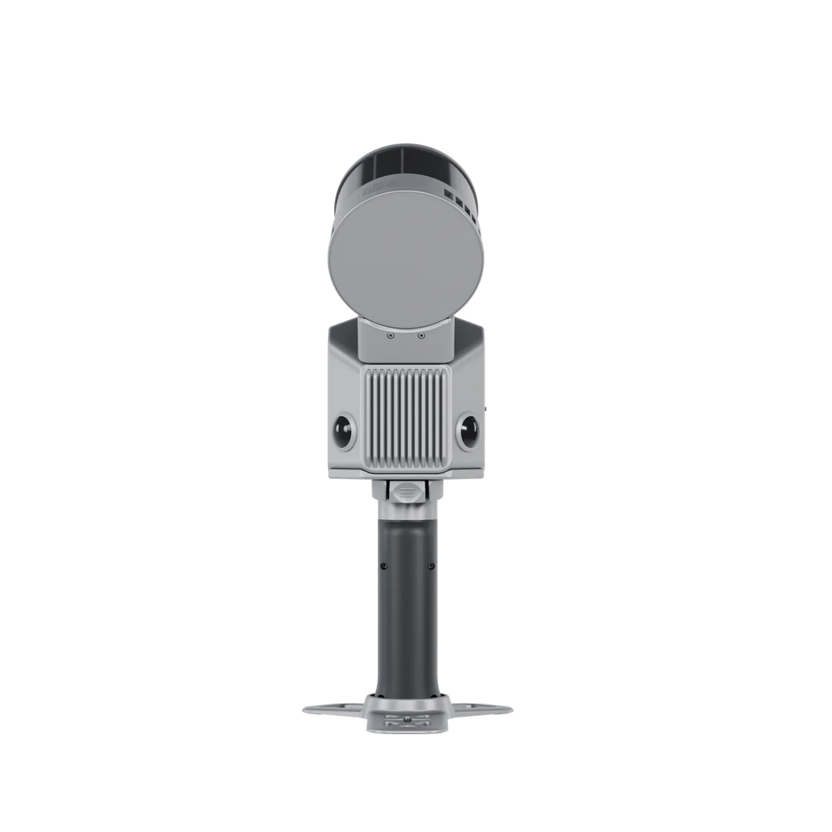
DOUBLE THE DETAIL
FJD Trion S2Pro
Twice the channels. Twice the point density.
The S2Pro takes the S2 platform and doubles the LiDAR: 32 channels and 640,000 points per second capture thin structures, dense vegetation and complex scenes the base model can miss.
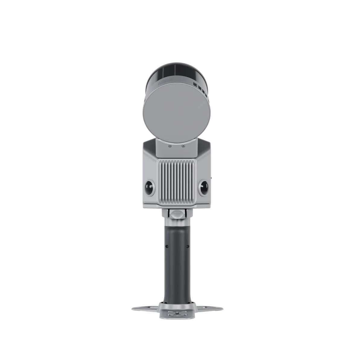
See the S2 series in action
Official launch film from FJDynamics.
More S2 videos: mounting, unboxing and setup
Vehicle-mounted scanning
Mount S2 on a vehicle for large-scale road and infrastructure data collection.
Unboxing and components
See what is in the box, including the detachable RTK & 360° camera module.
Drone mount quick start
Step-by-step guide to mounting S2 on a drone for aerial data collection.
Why the S2Pro over the S2?
Double the point density - 640,000 vs 320,000 pts/s
Every pass collects twice as many points. Railings, pipes, cabling, branches and thin profiles come out complete instead of fragmented.
32 channels instead of 16
More scan lines per rotation means denser coverage on every surface - fewer gaps to re-scan, fewer return visits.
Built for BIM and as-built documentation
When the deliverable is a model rather than an overview, the extra density is what carries the detail all the way into CAD.
The S2 upgrade ladder
Each step doubles down on capability: the Pro doubles the point density, the Max multiplies the range.
FJD Trion S2
16 channels · 320,000 pts/s · 120 m
FJD Trion S2Pro
32 channels · 640,000 pts/s · 120 m
FJD Trion S2Max
32 channels · 640,000 pts/s · 300 m

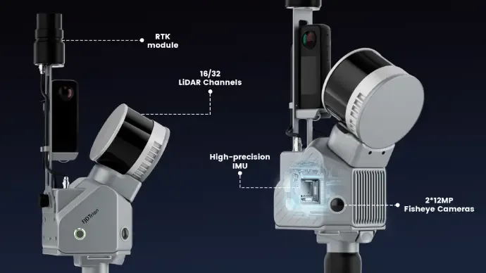
32-channel LiDAR, cameras, IMU and RTK in 1.8 kg
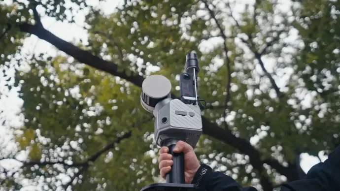
The full S2 platform - two 12MP fisheye cameras, high-precision IMU and RTK module - now feeding twice the LiDAR data through the same handheld body.
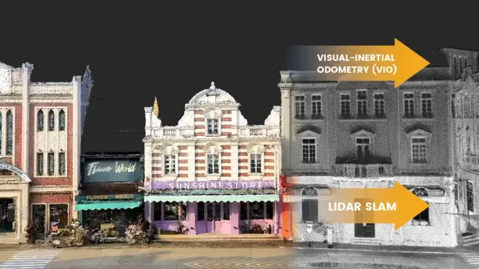
Multi-SLAM for reliable output
Visual-Inertial Odometry works together with LiDAR SLAM, so tracking holds even with few feature points - corridors, tunnels, open fields.
Georeferenced from the start
The integrated RTK module places the point cloud in real coordinates, and PPK support covers poor-signal areas. RoboService runs its own NTRIP network.
Need more reach? Take the next step.
The S2Pro shares its 120 m range with the S2. If you scan golf courses, road corridors or open pits, the S2Max delivers the same density at 300 metres.
See the S2MaxCompare with the S2S2 series specifications
According to FJDynamics official specifications.
Frequently asked questions
What exactly do I get over the standard S2?
Double the LiDAR: 32 channels instead of 16 and 640,000 points per second instead of 320,000, at the same 120 m range. Everything else - cameras, SLAM, RTK, weight - is the same proven platform.
When is the S2Pro the right choice?
When the deliverable demands detail: scan-to-BIM, as-built documentation, forestry inventory and complex industrial environments with thin structures.
When should I pick the S2Max instead?
When range decides: the S2Max has the same 640,000 pts/s density but reaches 300 metres - golf courses, corridors and open areas in far fewer setups.
Do the same accessories fit?
Yes - vest, poles, mounts, suitcase and backpack are shared across the whole S2 series.
Do I need RTK/GNSS?
No - SLAM positioning works entirely without satellites. Add RTK with an NTRIP subscription only when the result must sit in real coordinates.
What software is used?
The free FJD Trion Scan app in the field and FJD Trion Model for post-processing - licences are sold separately from us.
From first scan to finished model - with Swedish support
RoboService is an authorised FJD Trion dealer: we demo the S2 series, help you choose the right variant and support the whole workflow.
For business customers: lease from 159 SEK per day (4 840 SEK/month, 60-month leasing via Siemens Financial Services). A one-time startup fee for delivery, installation, mapping and training is added. Contact us for a quote.
| Kamera | Standard Camera, Insta360 X5 |
| Mått | 107 × 118 × 398 mm |
| Vikt | 1,8 kg (exkl. batteri, extern kamera och RTK-modul) |
| Batteritid | 3 timmar |
| Driftstemperatur | -10°C till 50°C |
| Räckvidd | 120 m |
| Punkttäthet | 640 000 punkter/sekund |
| IP-klass | IP54 |
| Positioneringsteknik | Visual SLAM (RTK-modul som tillval) |
| Lagringskapacitet | 512 GB (uppgraderbart till 1 TB) |
| Relativ noggrannhet | ≤ 1 cm |