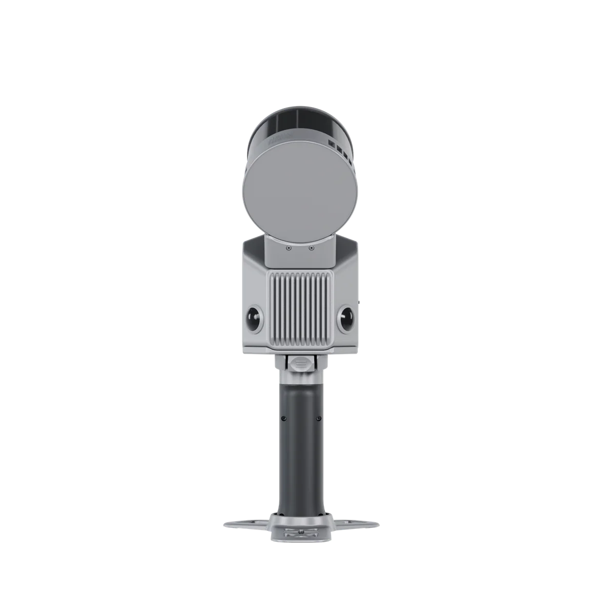
FJD Trion S2
Scan the toughest - without compromise.
A handheld SLAM LiDAR scanner that builds colorized, georeferenced point clouds while you walk - indoors, outdoors and everywhere satellites cannot reach.
See the S2 series in action
Official launch film from FJDynamics.
More S2 videos: mounting, unboxing and setup
Vehicle-mounted scanning
Mount S2 on a vehicle for large-scale road and infrastructure data collection.
Unboxing and components
See what is in the box, including the detachable RTK & 360° camera module.
Drone mount quick start
Step-by-step guide to mounting S2 on a drone for aerial data collection.
Smaller size, larger capability
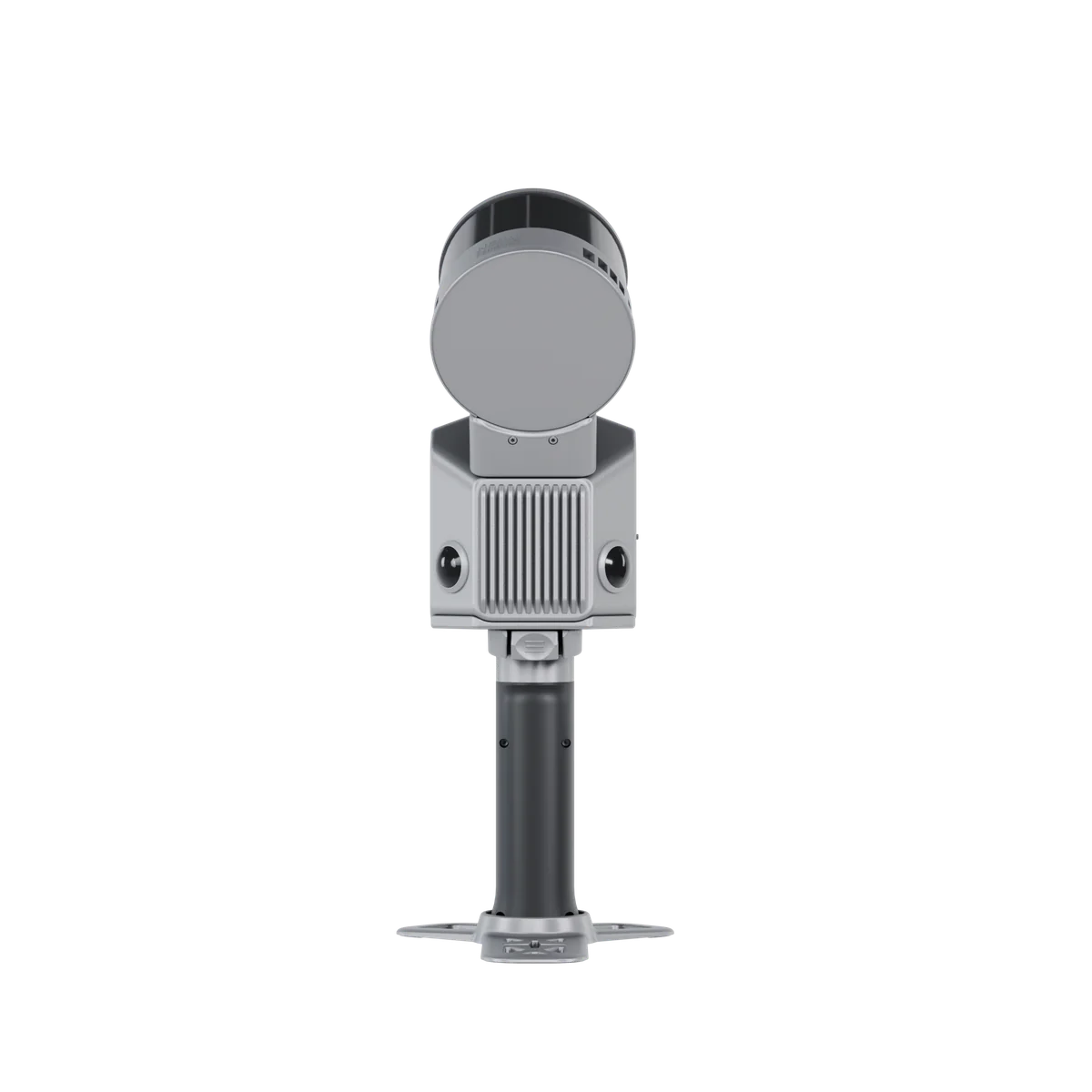
FJD Trion S2 is a handheld SLAM-based LiDAR scanner with 120 metres of range and 320,000 points per second. Two built-in 12MP cameras colorize the point cloud in real time, and support for over 8,000 coordinate systems eliminates manual conversion. The S2 is the base model of the S2 series - compact (107×118×398 mm), 1.8 kg, rated for -10°C to 50°C (IP54).
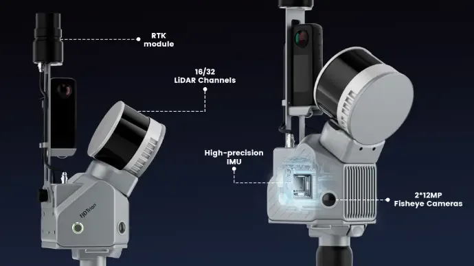
Everything integrated in 1.8 kg
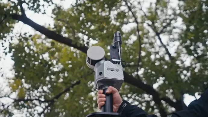
LiDAR with 16 or 32 channels, two 12MP fisheye cameras, high-precision IMU and an RTK module - one compact handheld unit instead of a carload of equipment.
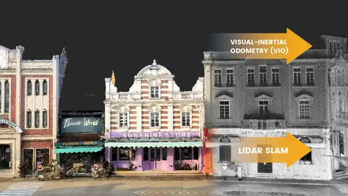
Multi-SLAM for reliable output
Visual-Inertial Odometry works together with LiDAR SLAM, so tracking holds even in environments with few feature points - long corridors, tunnels, open fields.
Georeferenced from the start
The integrated RTK module places the point cloud in real coordinates directly, and PPK support covers areas with poor signal - no extra control points needed.
Choose your S2

The S2 (320,000 pts/s, 120 m) covers most building and site scanning. The S2Pro doubles point density to 640,000 pts/s for richer detail, and the S2Max adds 300 metres of range for golf courses, corridors and large open areas.
FJD Trion S2ProFJD Trion S2MaxHow it works in practice
The S2 needs fewer parts than you might think - SLAM makes GNSS/RTK entirely optional:
1. The scanner
The S2 unit. Switch on and walk - Visual SLAM builds the point cloud by recognising the surroundings, no satellite signal needed.
2. The FJD Trion Scan app
Connects to the scanner over WiFi to show the point cloud live and manage projects and scan sessions on site.
3. RTK module + NTRIP - only if you need it
The S2 requires NO GNSS to work. If the result must sit in real GPS coordinates, add the RTK module fed by an NTRIP account - RoboService runs its own RTK network with NTRIP subscriptions.
4. FJD Trion Model
Post-processing of the point cloud: classification, volumes, contours, drawings and BIM export. Runs on PC or iPad - licence sold separately.
Effortless scanning and carrying
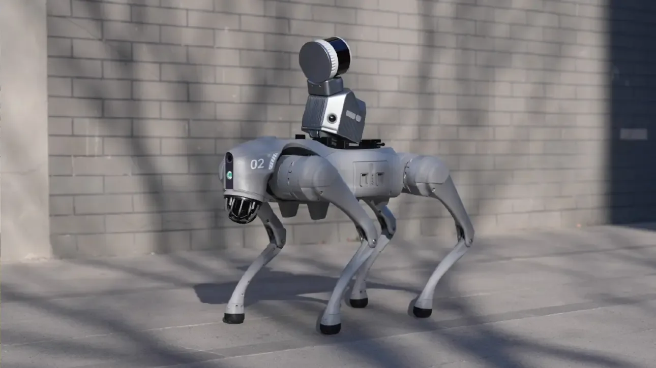
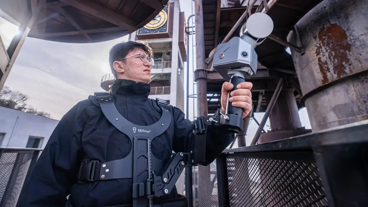
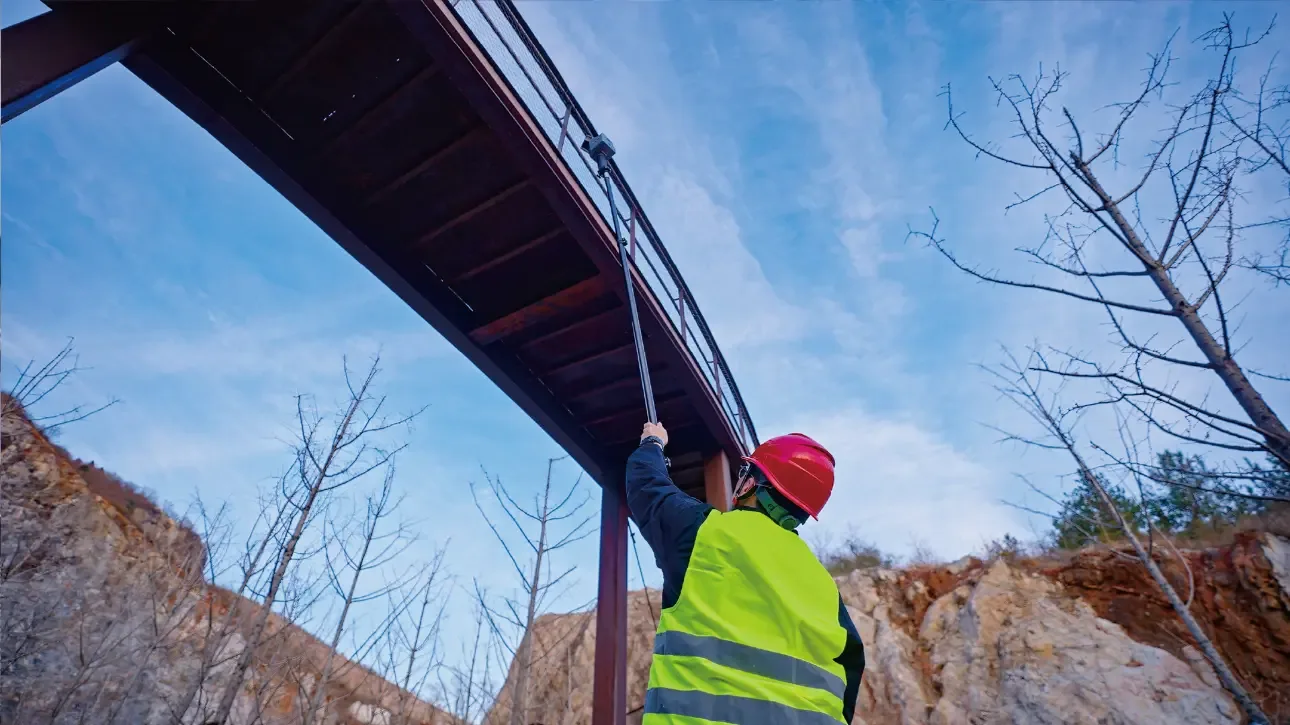
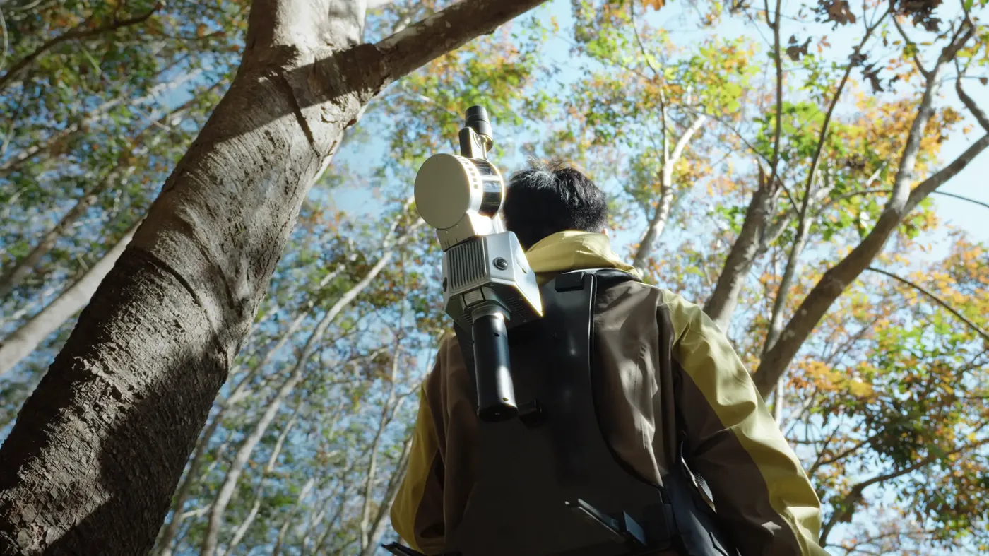
The S2 mounts on whatever gets the job done - most accessories are available from RoboService.


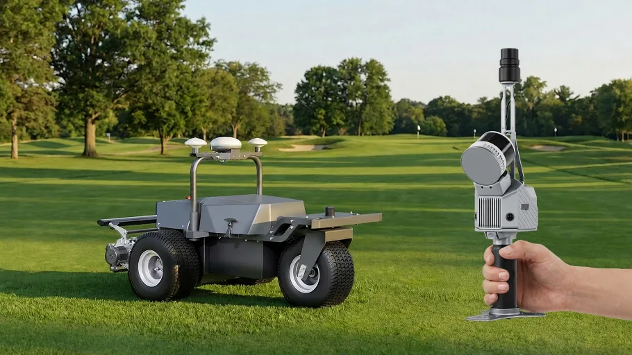
Scan once. Power an entire course.
With up to 300 metres of range, the S2Max captures a whole golf course - and the model becomes the foundation for autonomous mower deployment, route planning and intelligent course management with the RM21P and RCM01.
See the RM21P Rough RangerApplication scenarios




S2 series specifications
According to FJDynamics official specifications.
Frequently asked questions
What separates the S2 from the S2Pro and S2Max?
The S2 delivers 320,000 points/second at 120 metres of range. The S2Pro doubles point density to 640,000 pts/s at the same range, while the S2Max has both the high density and 300 metres of range. Choose the S2 if 120 m is enough and you do not need the extra density.
Do I need RTK/GNSS to use the S2?
No, the S2 builds its positioning with SLAM and works entirely without satellite signal. GNSS can be added for georeferencing when needed, but is not required for scanning.
Which accessories work with the S2?
The whole S2 accessory range: drone mount, car mount, extension pole, stabilizing vest and robot dog mount. All are sold separately and can be combined as needed.
Can the S2 be used indoors and outdoors?
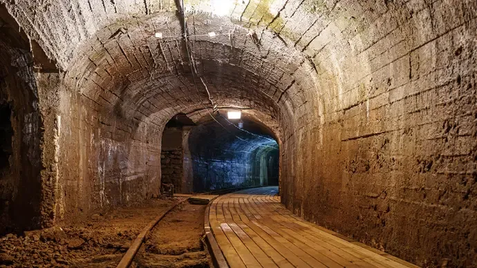
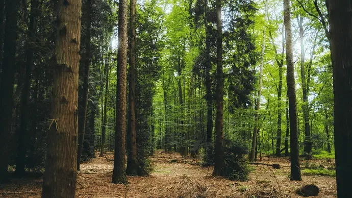
Yes, the S2 is built for both environments and is used for everything from indoor building surveys to large-scale outdoor mapping.
What file formats does it deliver?
Point clouds in .las, .ply, .pts and .e57 plus .jpg images - open formats that drop straight into CAD, BIM and GIS software.
What software do I need?
The free FJD Trion Scan app controls the scanner in the field. For post-processing you use FJD Trion Model on PC or iPad - the licence is sold separately from us.
What is included in the price?
The scanner unit including a 1-year standard warranty. Handheld battery solution, software licence (Trion Model) and accessories are added separately - see related products.
Can I see it before buying?
Yes - contact RoboService for a demo. We show the whole workflow from scan to finished model, in Swedish.
From first scan to finished model - with Swedish support
RoboService is an authorised FJD Trion dealer: we demo the S2 series, help you choose the right variant and support the whole workflow.
For business customers: lease from 115 SEK per day (3 500 SEK/month, 60-month leasing via Siemens Financial Services). A one-time startup fee for delivery, installation, mapping and training is added. Contact us for a quote.
| Kamera | Standard Camera, Insta360 X5 |
| Mått | 107 × 118 × 398 mm |
| Vikt | 1,8 kg (exkl. batteri, extern kamera och RTK-modul) |
| Batteritid | 3 timmar |
| Driftstemperatur | -10°C till 50°C |
| Räckvidd | 120 m |
| Punkttäthet | 320 000 punkter/sekund |
| IP-klass | IP54 |
| Positioneringsteknik | Visual SLAM (RTK-modul som tillval) |
| Lagringskapacitet | 512 GB (uppgraderbart till 1 TB) |
| Relativ noggrannhet | ≤ 1 cm |