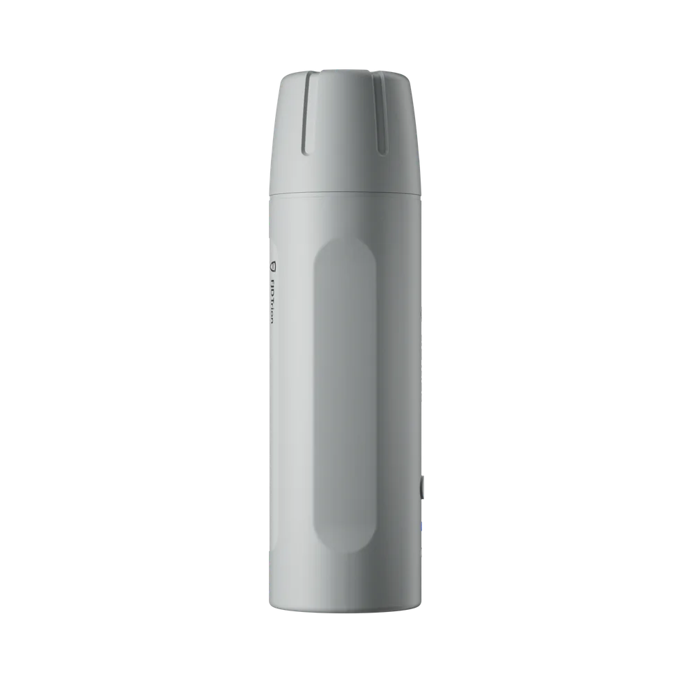
FJD Trion V4E Pro
Pole-free. Worry-free.
A handheld laser GNSS receiver that fits in your pocket: point at the target, press once and the coordinate is captured with centimetre precision - even where you cannot stand.
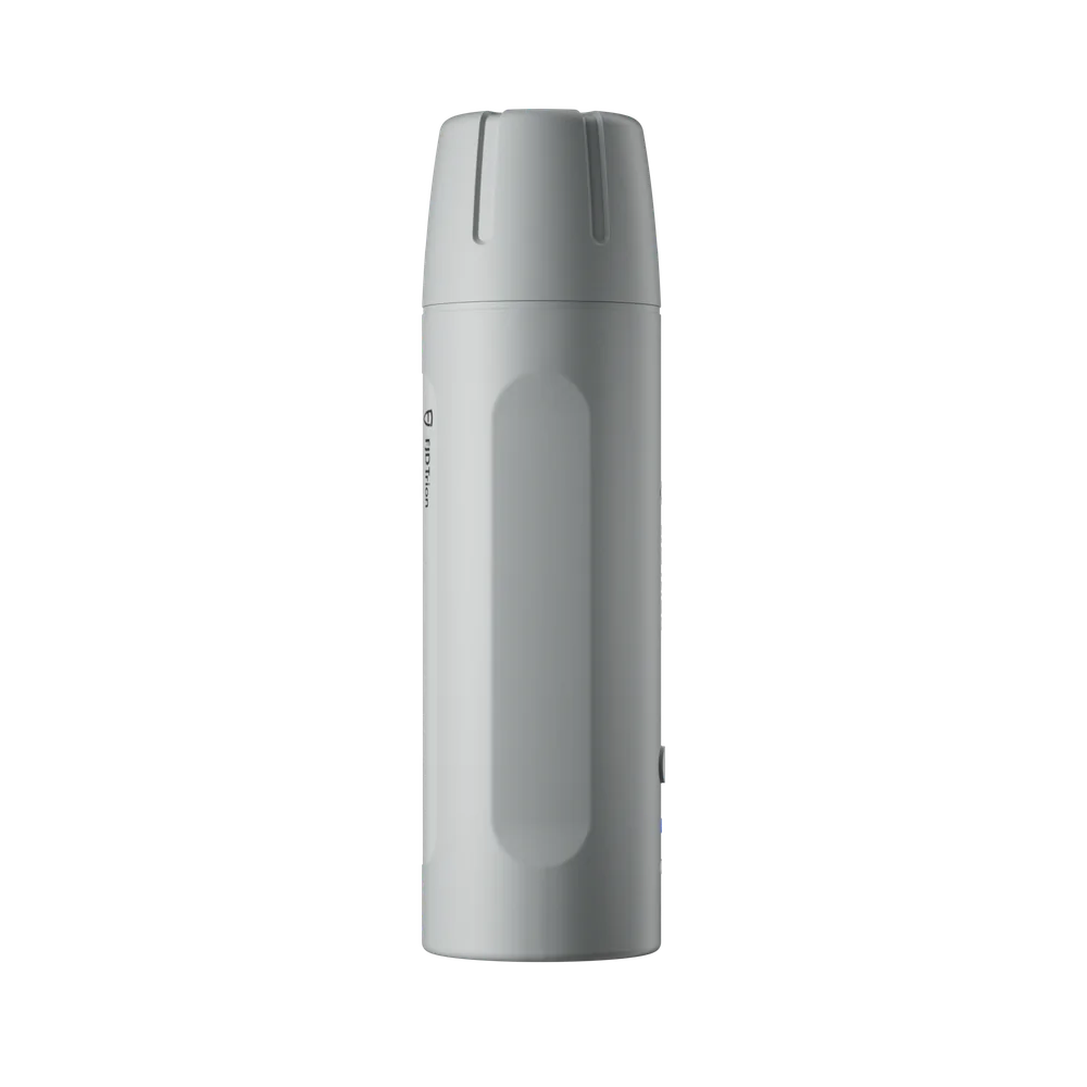
See the V4E Pro in action
Official product film - the pole-free workflow in practice.
Still stuck setting up poles?
Classic surveying means carrying a pole, levelling it and hoping the point is reachable. The V4E Pro removes all three steps.
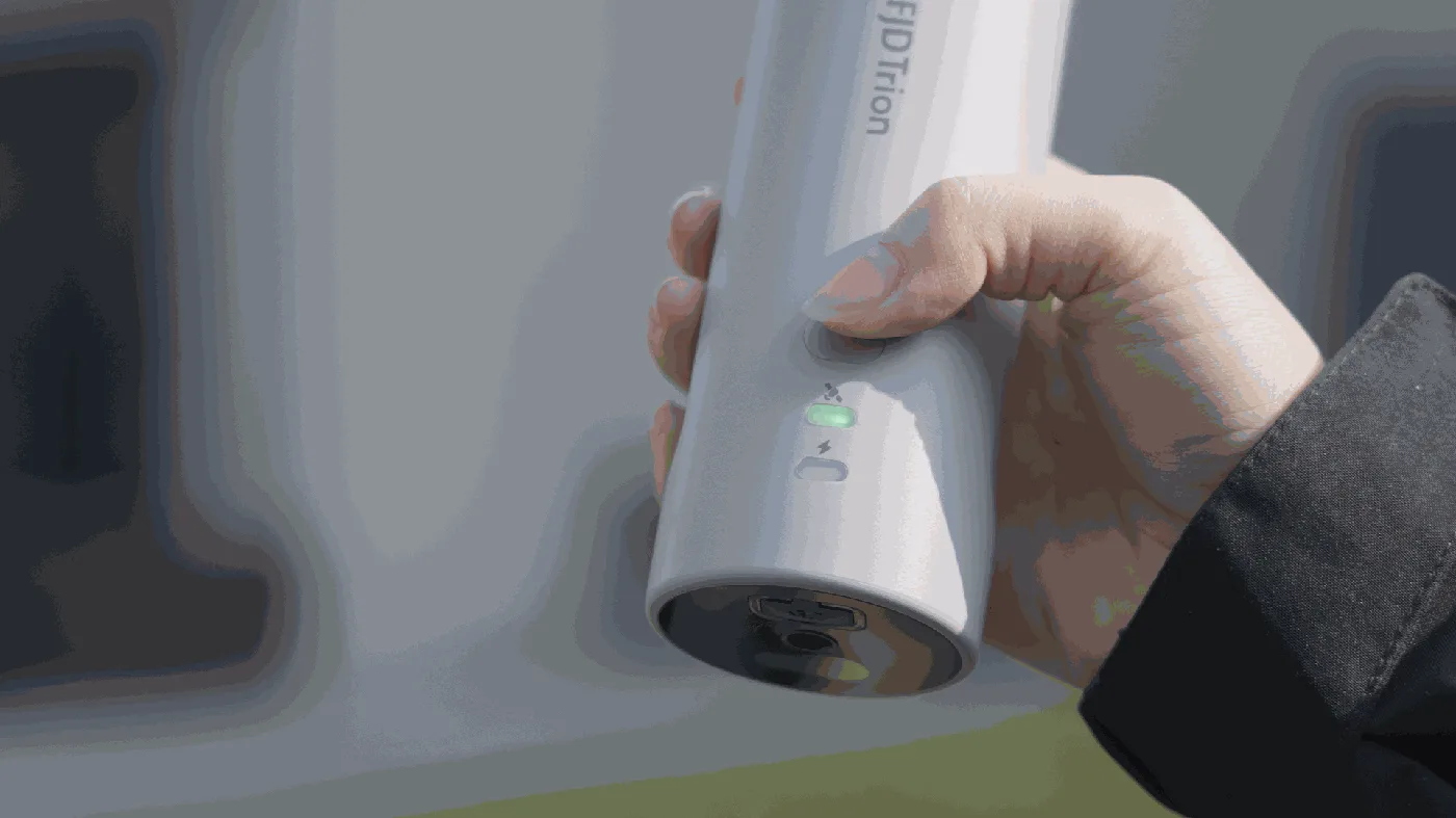
Just point - the V4E Pro handles the rest
Aim the green laser at the point, press once and the built-in IMU compensates for the tilt - up to 60 degrees. 3D error stays within 2.5 cm at 30 degrees and 3.5 cm at 60 degrees.
Hit the target every time
The laser dot shows exactly which point you are measuring - no guessing, no re-measuring. Laser accuracy is within 3 cm at 3 metres.
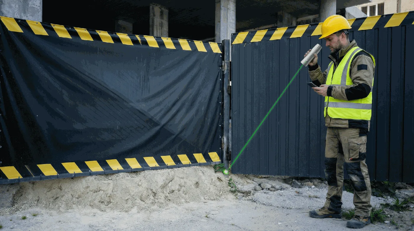
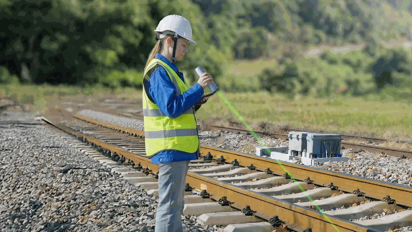
Made for hard-to-reach points
Rail tracks, ditches, fenced-off areas, fresh concrete: measure from where you can stand safely instead of where the point happens to be.
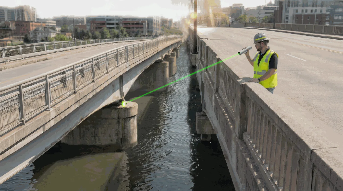
Visible in bright sunlight
The green laser stays visible outdoors in full daylight - here measuring a bridge pillar straight down over water.
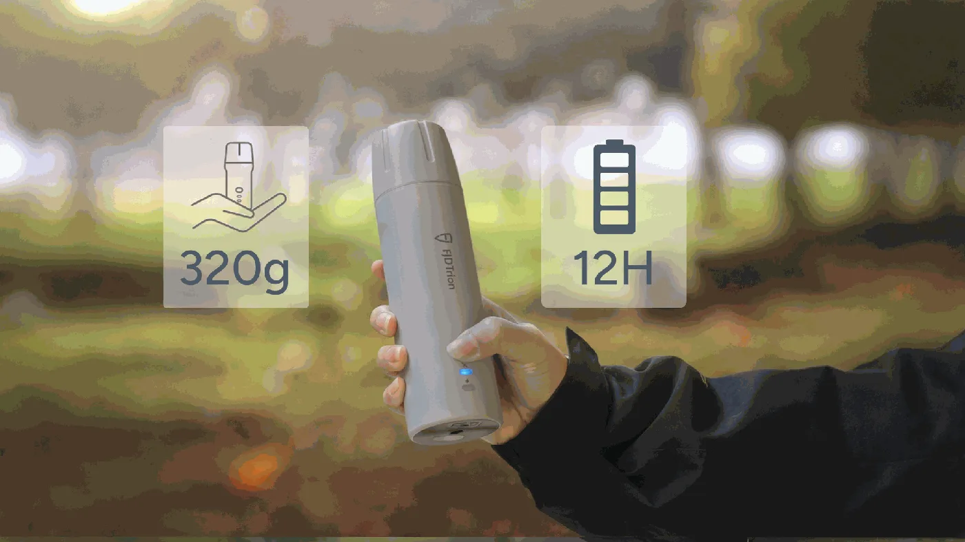
Grab and go
320 grams, pocket-sized, at least 12 hours of battery and drop-proof from 1.2 metres. It goes where you go, all day.
Helps you get it right, anywhere


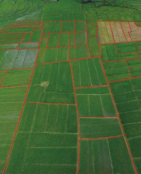


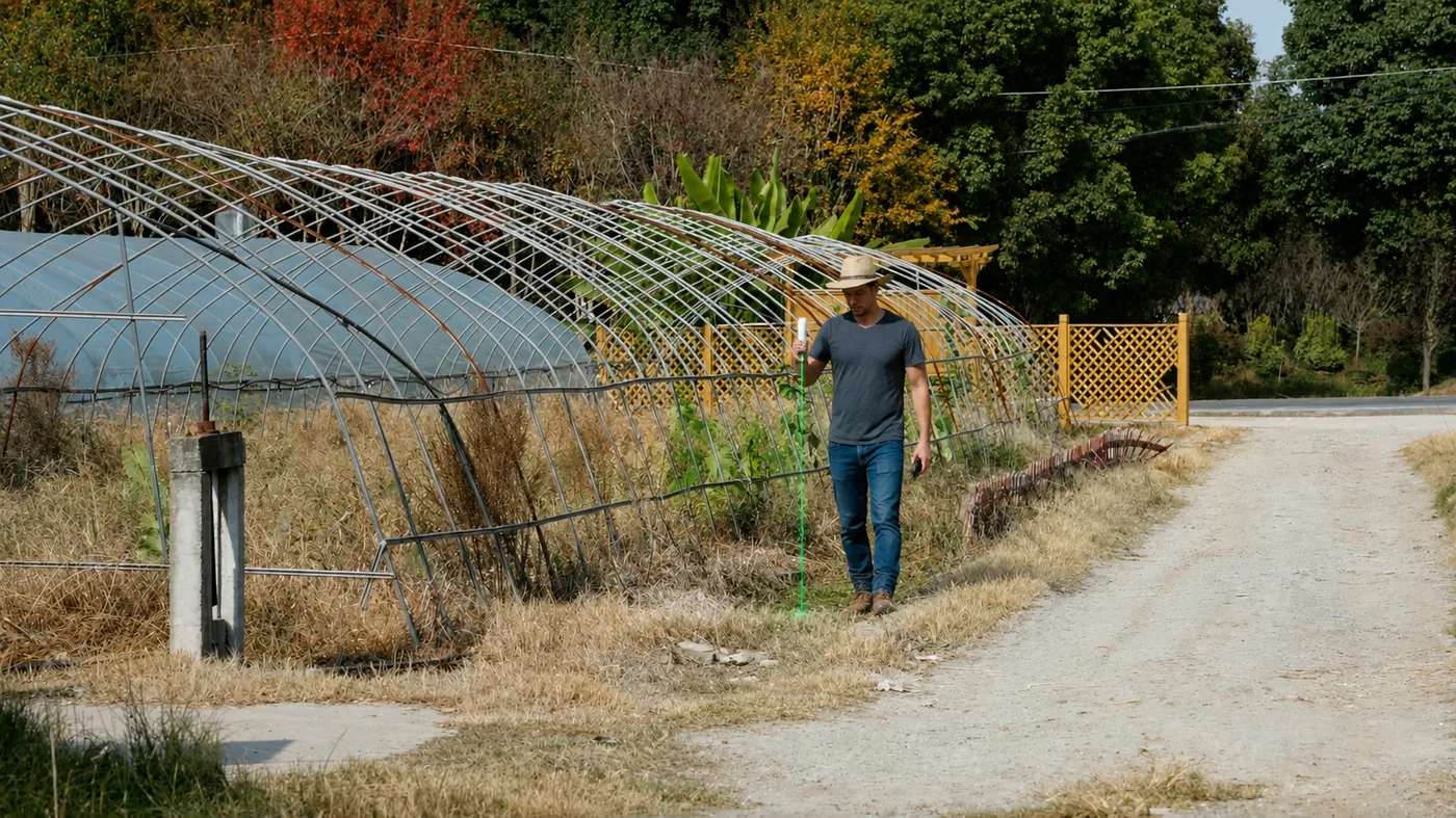
Precision across every field
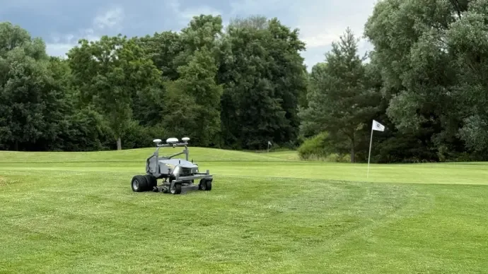
In agriculture the V4E Pro feeds boundaries and points straight into the FJD ecosystem - the same data that drives autosteering and the FieldFusion farm platform.
Read about FJD FieldFusionV4E or V4E Pro?
Both share the same GNSS engine: 1408 channels and centimetre RTK precision. The Pro adds the IMU and the laser - that is what makes pole-free tilt measurement possible.
Choose the standard V4E for straightforward point collection where you can stand on the point. Choose the V4E Pro when you measure daily, at angles, or on points you cannot reach.
See the standard V4EV4E Pro Survey Kit with licenceSpecifications
According to FJDynamics official specifications for V4E / V4E Pro.
Frequently asked questions
What do the IMU and laser give me in practice?
True pole-free measuring: point at the target at up to 60 degrees tilt and the coordinate is corrected automatically. It also gives better stability during handheld scanning.
Is the V4E Pro worth the price difference over the standard V4E?
For professional daily use where precision and reach matter, yes. For simpler or occasional point collection the standard V4E is often enough.
How accurate is it?
GNSS: better than 0.8 cm horizontally and 1.5 cm vertically (+1 ppm). The laser measures within 3 cm at 3 metres, and tilt measurement keeps the 3D error within 2.5 cm at 30 degrees.
Do I need an NTRIP subscription?
Yes, RTK precision requires a correction service. RoboService runs its own RoboRTK subscription, so you get receiver and corrections from one supplier.
How long does the battery last?
At least 12 hours of work per charge, and it recharges in 3 hours or less over USB-C - a full field day without a spare.
Does it survive tough field conditions?
It is drop-proof from 1.2 metres and works from -20 to +60 degrees Celsius - and at 320 grams it rides in a jacket pocket.
Which apps does it connect to?
It connects over Bluetooth or WiFi to FJD's survey apps, and in agriculture the data flows into the FieldFusion platform.
Can it feed data to robots and machines?
Yes - it outputs standard NMEA-0183 and supports RTCM/CMR, and in the FJD ecosystem it is the natural tool for setting boundaries for the RM21P and RCM01 robotic mowers.
Does the V4E Pro use the same accessories as the V4E?
Yes, the phone holder and other V4E accessories fit both receiver variants.
Can I upgrade from a V4E to a V4E Pro later?
Contact RoboService and we will find the most cost-effective route if you already own the standard version.
Is it suitable for professional land surveying?
Yes - the accuracy and the pole-free workflow make it a strong tool for professional survey work; the Survey Kit with measurement licence is the complete package.
What is the delivery time?
Contact us for current delivery time and a demo - we are happy to show the pole-free workflow live.
See the pole-free workflow live
RoboService is an authorised FJD Trion dealer in Sweden - we demo the V4E Pro, dimension the full solution and support you in Swedish.
| Vikt | 320 g |
| Batteritid | 12+ timmar |
| Produkttyp | Handhållen GNSS-mottagare med IMU och laser |
| Positioneringsnoggrannhet | ±1,5 cm statisk, lutningskompensation ±60° |
| Antal GNSS-kanaler | 1408 (GPS/BDS/GLONASS/Galileo/QZSS/SBAS) |